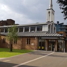
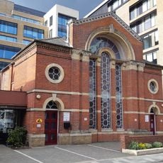
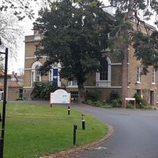
Maidenhead Synagogue, Reform synagogue in Maidenhead, England.
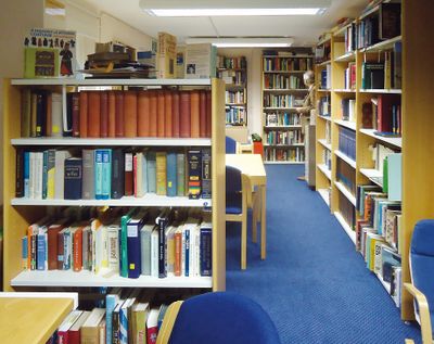
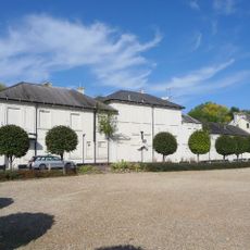
Maidenhead Synagogue is a Reform Judaism center on Ray Park Road serving Jewish communities across Berkshire, Buckinghamshire, and surrounding areas west of London in Thames Valley. The facility now includes a community center, library, nursery school, religious school, kosher shop, and cafe all within the same building.
The congregation formed during World War II when Jewish families evacuated from London gathered in private homes for prayers under volunteer rabbis. This wartime gathering eventually grew into the established institution it is today.
The synagogue follows Reform Judaism principles, modernizing religious practices while maintaining traditional Jewish values and welcoming members from various backgrounds. Visitors can observe how Jewish life is lived here today, with the community blending heritage and contemporary practice.
The facility offers services with live online streaming of Shabbat ceremonies, allowing distant members to participate. Visitors can find information about adult education classes, conversion instruction, and monthly publications available to members.
The facility underwent significant expansion in 2017 to add a nursery school and kosher shop alongside the library and community services. This growth transformed the location into a comprehensive hub for the Jewish community in the region.
The community of curious travelers
AroundUs brings together thousands of curated places, local tips, and hidden gems, enriched daily by 60,000 contributors worldwide.