Chest opened
+${chestReward.xp} XP
Explorer
NOUVEAU ×${chestReward.collectible.quantity}
tapez pour fermer
Chest locked

Open chests in the app

Around Us is built for your phone — chests unlock when you walk, explore and capture nearby places.

Enable Location

We need your location to show you interesting places around you

Discover nearby places

Find interesting locations and hidden gems around you

Precise directions

Get accurate directions and distances to places

Your location is never shared with other users. It's only used when you tap the location button.

Log in to your account

Start exploring — it's free

Trusted by 72,888 travelers worldwide

Continue with Google
Continue with Apple
or

We will send you a code to connect

By continuing, you accept our Terms and Conditions and our Privacy Policy

Check your inbox

We've sent a pincode in your inbox. Please enter the code below.

Midshires Way
Discussion Reviews Photo
4k Popularity

Midshires Way, Long-distance footpath in England

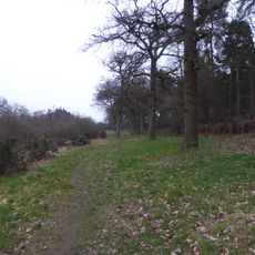
The Midshires Way is a long-distance trail in England that runs from the Chiltern Hills in Buckinghamshire north to Stockport in Greater Manchester. It passes through open farmland, woodland, and small villages, and follows two canals for part of its route: the Grand Union Canal and the Peak Forest Canal.

The trail opened in 1994 as a joint effort by local authorities and user groups who wanted to create a route through rural central England. It was planned to link the Ridgeway National Trail in the south with the Trans Pennine Trail in the north, filling a gap between two existing long routes.

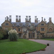
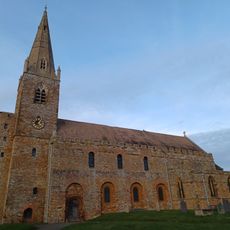
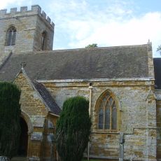
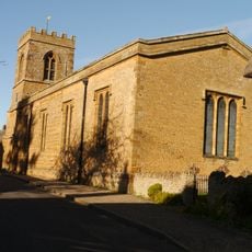
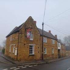
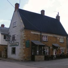
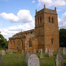
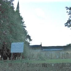
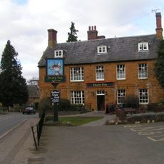
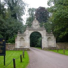
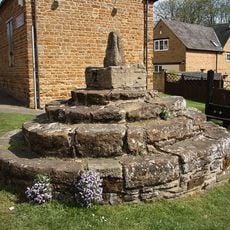
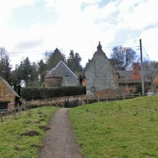
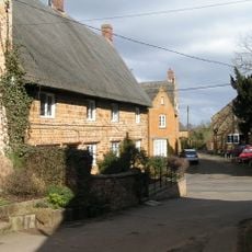
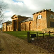
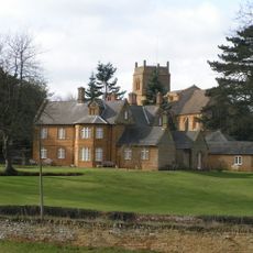
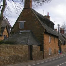
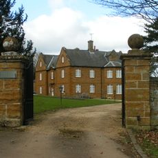
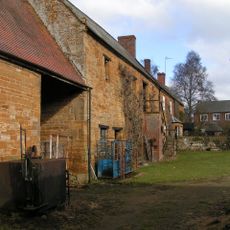
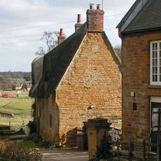
The name of the trail comes from the counties it passes through, known as the Midshires, a loose term for the middle part of England. Along the way, walkers pass old stone churches, traditional village pubs, and farmland that still follows the seasons in much the same way it has for generations.

The trail is marked with a double-acorn symbol throughout, which makes it easier to follow without a detailed map. Some sections are open only to walkers, while others allow cyclists or horse riders, so it is worth checking which parts suit your activity before you set out.

One section of the route follows the Brampton Valley Way, a former railway line that still has two old tunnels open to walkers and cyclists. The preserved tunnel entrances and the flat track give a sense of what the railway network once looked like in rural central England.

The community of curious travelers

AroundUs brings together thousands of curated places, local tips, and hidden gems, enriched daily by 60,000 contributors worldwide.

Start exploring
Location
Inception
1994
GPS coordinates
52.30000,-0.93333
Latest update
March 3, 2026 14:04
Reviews
Share your experience

No review yet

Discussions
Start a discussion...

No discussion yet

« Midshires Way - Long-distance footpath in England » is provided by Around Us (aroundus.com). Images and texts are derived from Wikimedia project under a Creative Commons license. You are allowed to copy, distribute, and modify copies of this page, under the conditions set by the license, as long as this note is clearly visible.

Discover hidden gems everywhere you go!

From secret cafés to breathtaking viewpoints, skip the crowded tourist spots and find places that match your style. Our app makes it easy with voice search, smart filtering, route optimization, and insider tips from travelers worldwide. Download now for the complete mobile experience.

Around Us App Screenshot

A unique approach to discovering new places

Le Figaro

All the places worth exploring

France Info

A tailor-made excursion in just a few clicks

20 Minutes

Around Us
Travel Guide & Maps
Download

Send to your phone

QR Code
1

Open the camera app on your mobile.

2

Point at the QR code with your camera. A notification will appear.

3

Tap the notification to open the link.