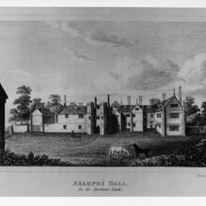
Molycourt Priory, Benedictine monastery in Outwell, Norfolk, England
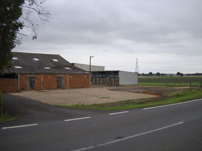
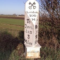
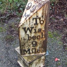
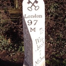
Molycourt Priory was a Benedictine monastery located between Downham and Outwell in Norfolk, situated on the right side of the connecting road. The land later became farmland, and no buildings from the monastic era remain visible today on the site.
This monastery was founded before the Norman Conquest and gained official recognition in 1446 when King Henry VI approved its transformation into a dependent cell of Ely Priory. That connection to a larger monastic network shaped its future.
The monks were deeply woven into local life, serving as guides and counselors for the communities around them beyond their own walls. Their role shaped how people understood faith and daily routines across Norfolk and the surrounding lands.
The site is now private farmland with no public access, and you cannot walk through it as there are no footpaths crossing the property. The best way to appreciate the location is to view it from the road between Downham and Outwell or seek out information from local sources.
The site suffered repeated flooding and storms that gradually decimated the monastic community. By 1427, only a single monk remained to tend the grounds, a sign of how environmental hardship had eroded the monastery's viability.
The community of curious travelers
AroundUs brings together thousands of curated places, local tips, and hidden gems, enriched daily by 60,000 contributors worldwide.