Sand Point and Middle Hope
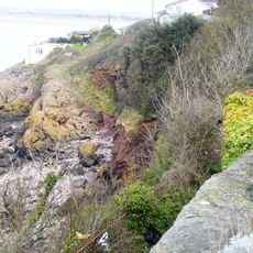
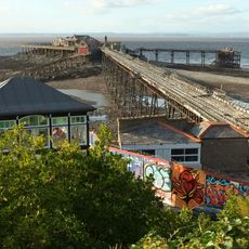
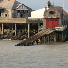
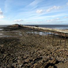
Sand Point and Middle Hope, Coastal headland and scientific site in North Somerset, England
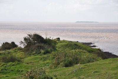
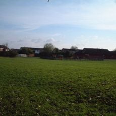
Sand Point and Middle Hope is a coastal headland in North Somerset that juts into the Bristol Channel with limestone cliffs and grassland that changes throughout the seasons. The two connected sections form a large protected area where different habitats support various plant and wildlife communities.
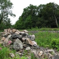
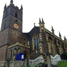
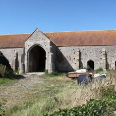
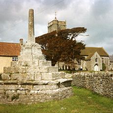
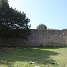
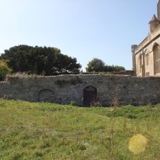
The site shows evidence of human occupation over thousands of years, with burial mounds from ancient times and medieval fortifications marking different periods. Archaeological finds reveal a long story of settlement and activity across multiple eras.
Middle Hope serves as a research location for geologists and botanists studying rare plant species such as the Cheddar pink and Somerset hair grass.
The coastal path is open year-round and offers views across the water and surrounding countryside. Parking and information are available near Kewstoke village with marked walking routes throughout.
This location marks the exact point where the Severn Estuary transitions into the Bristol Channel, creating distinctive tidal patterns and water conditions found nowhere else nearby. This boundary makes it valuable for understanding how water moves in the region.
Location: North Somerset
Website: https://nationaltrust.org.uk/visit/somerset/sand-point
GPS coordinates: 51.39080,-2.97150
Latest update: December 12, 2025 07:55
Birnbeck Pier
4.1 km
Woodspring Priory
1.8 km
Worlebury Camp
3.9 km
The Playhouse, Weston-super-Mare
4.5 km
Castle Batch
4.4 km
Blakehay Theatre
4.5 km
Spring Cove Cliffs
4 km
Church of St Paul, Kewstoke
3 km
Church of Saint Martin
4.3 km
Church of St Lawrence, Wick St. Lawrence
4.2 km
Parish Church of Saint John the Baptist
4.3 km
Christ Church
4.5 km
Holy Trinity Church
4.1 km
Weston-super-Mare Old Library
4.5 km
Church of All Saints
4.2 km
Priory Church
1.9 km
74, Upper Church Road
4.3 km
Knightstone Pavilion and Opera House
4.5 km
Grove Park War Memorial
4.3 km
Barn Circa 50 Metres North West Of Priory Church (qv) With Well At East End
1.8 km
Newtons
3.7 km
Wick St Lawrence village cross
4.2 km
Toll House Lodge
4.2 km
The Bandstand
4.4 km
Lifeboat House And Slipway
4.1 km
Clock Tower
4.1 km
East Cloister Wall
1.8 km
West Wall Of Chapter House Range
1.9 kmVisited this place? Tap the stars to rate it and share your experience / photos with the community! Try now! You can cancel it anytime.
Discover hidden gems everywhere you go!
From secret cafés to breathtaking viewpoints, skip the crowded tourist spots and find places that match your style. Our app makes it easy with voice search, smart filtering, route optimization, and insider tips from travelers worldwide. Download now for the complete mobile experience.
A unique approach to discovering new places❞
— Le Figaro
All the places worth exploring❞
— France Info
A tailor-made excursion in just a few clicks❞
— 20 Minutes