
Norwell, village and civil parish in Newark and Sherwood, Nottinghamshire, England
Location: Newark and Sherwood
GPS coordinates: 53.13330,-0.85000
Latest update: March 13, 2025 11:53
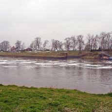
Cromwell Lock
3.9 km
Holy Rood Church, Ossington
5.1 km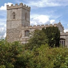
St. Wilfrid's Church, North Muskham
3.2 km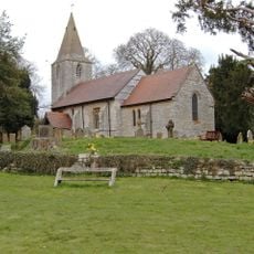
St Radegund's Church, Maplebeck
6 km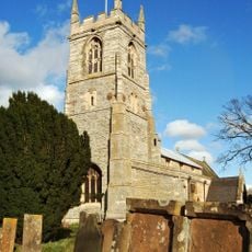
St John the Baptist's Church, Collingham
5.7 km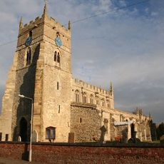
All Saints' Church, Sutton-on-Trent
6.5 km
Ossington Preceptory
5.1 km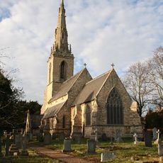
St Mary's Church, Carlton-on-Trent
4.7 km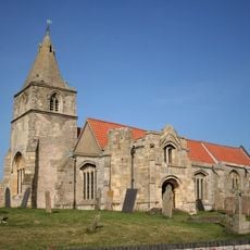
St Giles' Church, Holme
3.4 km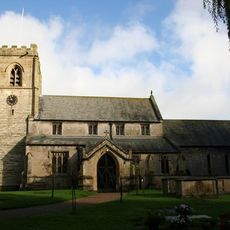
St. Andrew's Church, Caunton
2.5 km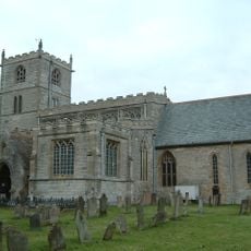
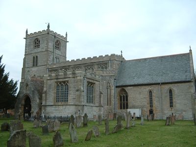
St. Laurence's Church, Norwell
1.7 km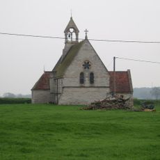
Moorhouse Chantry Chapel
6.8 km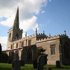
All Saints' Church, Weston, Nottinghamshire
7.8 km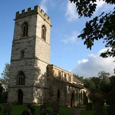
St. Giles' Church, Cromwell
3.2 km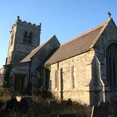
St. Wilfrid's Church, South Muskham
3.7 km
War Memorial in the Churchyard of St Andrew's Church
2.5 km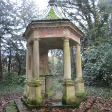
Monumental Well At Ossington Hall
4.8 km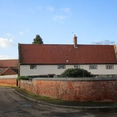
The Nunnery
5.7 km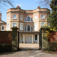
Carlton Hall
4.8 km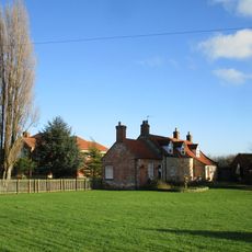
Grange Farm House
1.4 km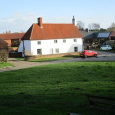
Low Farmhouse
5.9 km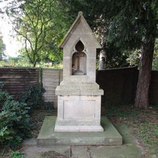
Ossington War Memorial
4.7 km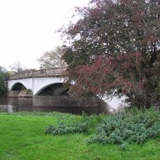
Muskham Bridge
4.3 km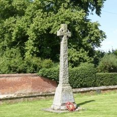
Norwell War Memorial
1.7 km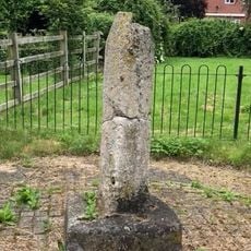
Standing cross 300m north of Trent Farm
2.7 km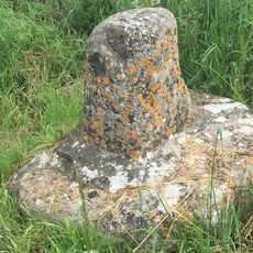
Standing cross 140m north of The Old Hall
3.3 km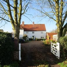
The Hollies
1.2 km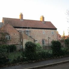
The Old Hall
3.1 kmVisited this place? Tap the stars to rate it and share your experience / photos with the community! Try now! You can cancel it anytime.
Discover hidden gems everywhere you go!
From secret cafés to breathtaking viewpoints, skip the crowded tourist spots and find places that match your style. Our app makes it easy with voice search, smart filtering, route optimization, and insider tips from travelers worldwide. Download now for the complete mobile experience.

A unique approach to discovering new places❞
— Le Figaro
All the places worth exploring❞
— France Info
A tailor-made excursion in just a few clicks❞
— 20 Minutes