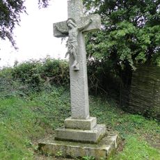
North Norfolk Coast Site of Special Scientific Interest, Protected coastal area in Norfolk, England
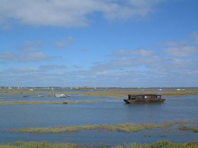
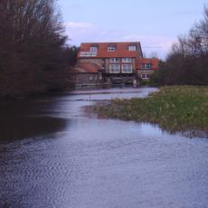
The North Norfolk Coast stretches between Old Hunstanton and Kelling, displaying a mix of salt marshes, reed beds, sand dunes, and shingle beaches. This protected area encompasses roughly ten nature reserves managed by different conservation organizations working together to safeguard the coastal ecosystem.
Protection of this coastal stretch began in the early 1900s when part of the shoreline was acquired for conservation purposes. This initial action eventually developed into the comprehensive protection system that exists along the coast today.
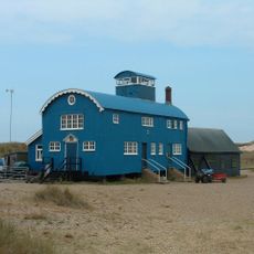
The birdwatchers who visit this stretch of coast have shaped how locals view their environment and their role in protecting it. You will notice observation hides and spotting stations built into the landscape, reflecting how communities have adapted to living alongside dedicated nature watchers.
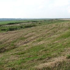
Those visiting this area will find multiple access points scattered along the coast at different locations. It is advisable to wear weatherproof clothing and be mindful of tides if exploring more remote sections, as water levels can change quickly.
The salt marshes here contain one of Europe's most diverse collections of coastal plants, each adapted to survive in salty and waterlogged soil. This specialized plant life draws researchers from across the continent who study how these plants survive in such demanding conditions.
The community of curious travelers
AroundUs brings together thousands of curated places, local tips, and hidden gems, enriched daily by 60,000 contributors worldwide.