Otley Run, Pub crawl in Headingley district, Leeds, England
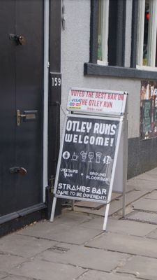
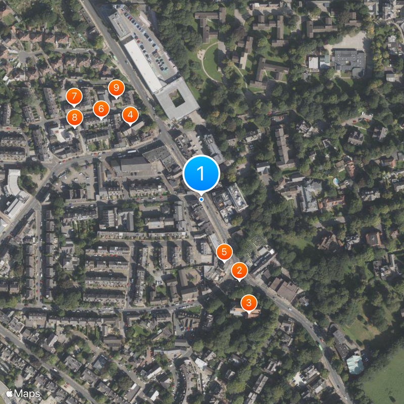
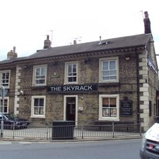
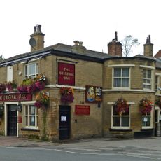
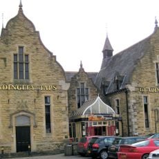
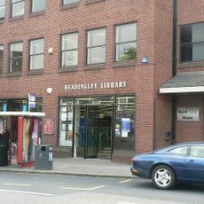
The Otley Run is a pub crawl that stretches about 2.5 km along Otley Road through Headingley, connecting up to 19 different pubs and bars. The stops are linked by walking paths that form a continuous route through the neighborhood.
This pub crawl started in the late 1960s when Leeds students began walking this route regularly on weekends. It grew from informal student gatherings into a recognized local tradition with set starting and ending points.
People dress in matching costumes, from sports outfits to Roman togas, turning the walk into a colorful street gathering. This shared style of dress has become part of how the event feels for everyone who takes part.
It is best to start on a Saturday between midday and mid-afternoon, and it helps to drink water and eat throughout the walk. Comfortable shoes are important since you will be walking between different venues for the entire route.
The final stop at The Dry Dock stands out because it is an actual boat that has been converted into a pub. This unusual venue marks the end of the route and is a memorable finishing point.
GPS coordinates: 53.82050,-1.57700
Latest update: December 14, 2025 21:20
Skyrack
123 m
St Michael and All Angels Church
169 m
Headingley Methodist Church, Vestry, Sunday School, Hall And Walls And Piers
142 m
The Skyrack Public House
91 m
5-17, Chapel Street
177 m
6-14, Chapel Street
218 m
19 And 21, Chapel Street
201 m
2 And 4, Chapel Street
183 m
The Original Oak Public House
127 m
Headingley Taps Public House
175 m
Headingley Library
107 m
Group of Three K6 Telephone Kiosks Outside the British Telecom Exchange
154 m
Headingley War Memorial
119 m
4 And 6, Shire Oak Road
212 m
7 And 8, Alma Cottages
215 m
1 and 2, Alma Cottages
191 m
3 And 4, Alma Cottages
222 m
Wall And Gate Piers To Church Of St Michael
185 m
Bollards and railings to front garden of Headingley Parish Hall
147 m
Headingley Parish Hall
165 m
69, 71 and 73 Otley Road
167 m
Outbuilding Between Numbers 2 And 3
192 m
11 And 13, St Michaels Road
195 m
Spring House
187 m
Lodge, Gate Piers And Boundary Wall To Former North Lane Pumping Station
203 m
Ivy Lodge
198 m
Former Parochial Institute
130 m
Ivy Cottage
220 mVisited this place? Tap the stars to rate it and share your experience / photos with the community! Try now! You can cancel it anytime.
Discover hidden gems everywhere you go!
From secret cafés to breathtaking viewpoints, skip the crowded tourist spots and find places that match your style. Our app makes it easy with voice search, smart filtering, route optimization, and insider tips from travelers worldwide. Download now for the complete mobile experience.
A unique approach to discovering new places❞
— Le Figaro
All the places worth exploring❞
— France Info
A tailor-made excursion in just a few clicks❞
— 20 Minutes