Skyrack, Administrative division in West Riding of Yorkshire, England
Skyrack was a medieval administrative division in Yorkshire that encompassed multiple parishes including Aberford, Bardsey, Barwick-in-Elmet, Kippax, Thorner, and Whitkirk. The territory was divided into two parts: the Upper Division and Lower Division, together containing around 82 settlements.
This administrative division originated in medieval times and was documented in the Domesday Book, marking its early significance. It functioned as a center for local court proceedings and held importance in the region's governance and defense.
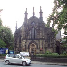
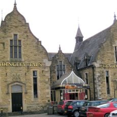
The name comes from Old English 'scir ac', meaning Shire Oak, referring to a central oak tree in Headingley where the community gathered. This tree served as the symbolic heart for local meetings and discussions.
The territory was naturally bounded by two rivers: the Wharfe to the north and the Aire to the south. These natural borders made the administrative area easy to identify and navigate in medieval times.
The name was closely tied to a specific landmark: a large oak tree in Headingley that served not just as a tree but as a symbol of local authority and community identity. This connection between the name, the tree, and governance shows how the landscape itself was an important feature of medieval organization.
The community of curious travelers
AroundUs brings together thousands of curated places, local tips, and hidden gems, enriched daily by 60,000 contributors worldwide.