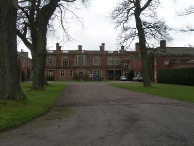
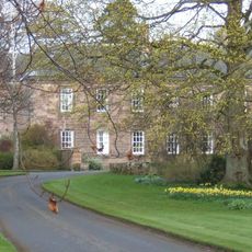
Pallinsburn House, Grade II* listed country house in Ford, England
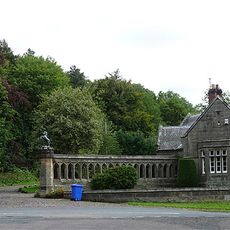
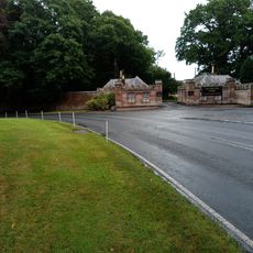
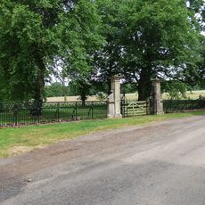
Pallinsburn House is a three-storey country residence featuring Jacobean architectural elements set in the Northumberland countryside. The structure centres on a main block with distinctive period details and sits within grounds containing gardens and parkland.
The house was built in 1763 for John Askew, who became High Sheriff of Northumberland in 1776, and remained with the family until 1911. Extensive renovations in 1933 removed the third storey from the central section.
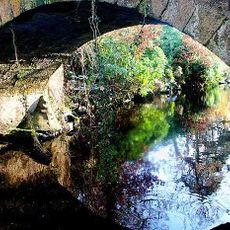
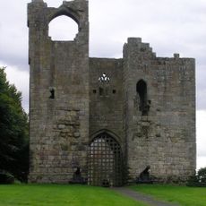
The name Pallinsburn comes from a nearby stream where Saint Paulinus performed baptisms during the early Christian period in Britain. This historical connection shapes the place's identity in the local landscape today.
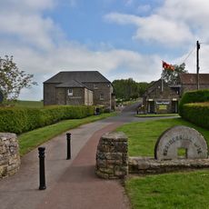
The property sits in rural Northumberland countryside, best reached by car as public transport is limited. Visitors should allow time for the extensive grounds and be prepared for the agricultural setting surrounding the house.
In 2006, the house contents sold at auction for GBP 840,000, one of the largest residential sales of its kind in the region. This major sale drew regional attention to the property at that time.
Location: Ford
GPS coordinates: 55.64470,-2.16384
Latest update: December 14, 2025 12:20
Etal Castle
2.7 km
Twizell Castle
4.6 km
Heatherslaw Light Railway
2.8 km
Twizel Bridge
4.5 km
Heatherslaw Mill
3.6 km
Church of St Mary the Virgin
3.1 km
Church of St Paul
1.6 km
Church of St Helen
3.9 km
Etal Manor
3.2 km
The Collingwood Arms
4 km
Cornhill-On-Tweed War Memorial
4 km
West Lodge And Gateway To Ford Castle
4.5 km
Milepost Circa 200 Yards North Of Tillmouth Park Hotel
4.4 km
Carham War Memorial
3.8 km
Milepost Circa 100 Yards North Of Hay Farm Road End
4.1 km
Milepost Beside Ford Castle West Lodge
4.5 km
Flodden Memorial
1.9 km
Milepost Circa 200 Yards West Of Mount Pleasant
3 km
Duddo Burn Viaduct
4.4 km
Twin Lodges And Gatepiers To Tillmouth Park Hotel
4 km
Etal Castle Gate Tower, South Curtain Wall And South West Tower
2.8 km
Milepost In Cornhill On Tweed Village
3.9 km
Gates, Gatepiers And Railings Circa 1 Mile South Of Etal Manor
3.4 km
Milepost By The Blue Bell
1.5 km
Milepost Circa 50 Yards North Of Junction With B6352
4.5 km
Milepost In Etal Village
3 km
Milepost At Berryhill Road End
4 km
Milestone, a mile SW of Cornhill on Tweed
4.5 kmVisited this place? Tap the stars to rate it and share your experience / photos with the community! Try now! You can cancel it anytime.
Discover hidden gems everywhere you go!
From secret cafés to breathtaking viewpoints, skip the crowded tourist spots and find places that match your style. Our app makes it easy with voice search, smart filtering, route optimization, and insider tips from travelers worldwide. Download now for the complete mobile experience.
A unique approach to discovering new places❞
— Le Figaro
All the places worth exploring❞
— France Info
A tailor-made excursion in just a few clicks❞
— 20 Minutes