Heatherslaw Light Railway, Heritage railway in Northumberland, England.
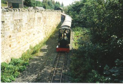
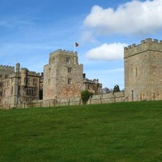
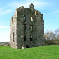
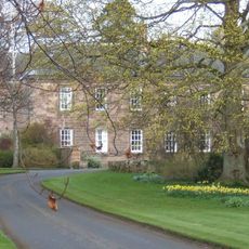
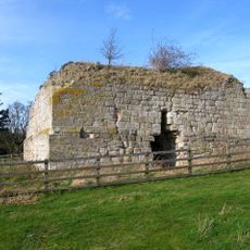
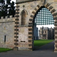
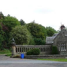
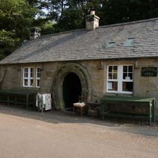
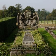
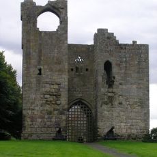
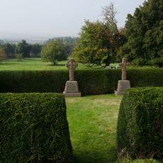
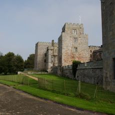
Heatherslaw Light Railway is a fifteen-inch gauge railway in rural Northumberland, running between Heatherslaw Station and the village of Etal along the River Till. The line passes through open farmland and ends close to Etal Castle, a medieval ruin near the final stop.
The railway opened in 1989 on the Ford and Etal estate, making it the northernmost steam railway in England. It was set up to keep the narrow gauge tradition alive in a part of the country where this type of railway had no previous local presence.
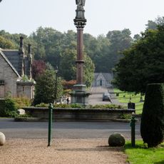
The railway runs through the Ford and Etal estate, passing close to farm buildings and the ruins of Etal Castle, which visitors can see from the carriage windows. This setting gives the journey a connection to rural Northumberland life that goes beyond a simple train ride.
The railway runs seasonally from March to October, and the full round trip takes about an hour from start to finish. Visitors can combine the journey with a stop at Etal Castle, which is just a short walk from the end of the line.
The track gauge of 15 inches (38 cm) is so narrow that the locomotives are smaller than some garden railway engines, yet they haul real passenger coaches with paying travelers on board. This makes Heatherslaw one of the few places in Britain where you can ride behind a genuine steam engine on a line this small.
The community of curious travelers
AroundUs brings together thousands of curated places, local tips, and hidden gems, enriched daily by 60,000 contributors worldwide.