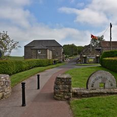
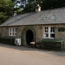
Lady Waterford Hall, Independent museum and Grade II* listed building in Ford, England.
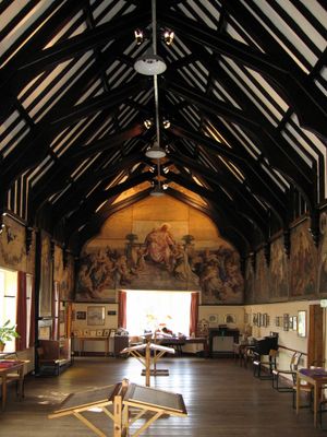
Lady Waterford Hall is a Victorian building in Ford featuring large-scale interior wall paintings and school furniture from the 19th century. The rooms display this combination of artwork and original furnishings as a record of how the school functioned during its active years.
The building opened as a village school in 1860 under Louisa Anne, Marchioness of Waterford, who directed it for many decades. It closed in 1957 after nearly a century of operation.
The wall paintings show biblical scenes using the faces of local villagers as characters, making religious stories feel connected to everyday people. These personal touches transformed a school into a gallery of community portraits.
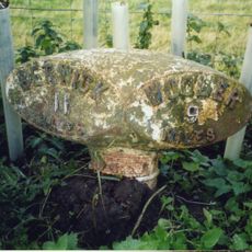
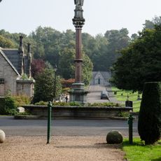
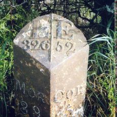
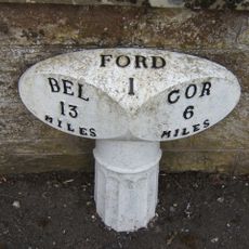
The building is located in a quiet village setting in Ford, Northumberland, and can be reached without difficulty once you find the village. Group visits need to be arranged in advance so staff can prepare for multiple visitors at once.
Few places in Britain preserve artistic wall paintings within an educational setting like this one does. Louisa Anne spent over 21 years creating these works while running the school, making art creation and teaching deeply connected.
The community of curious travelers
AroundUs brings together thousands of curated places, local tips, and hidden gems, enriched daily by 60,000 contributors worldwide.