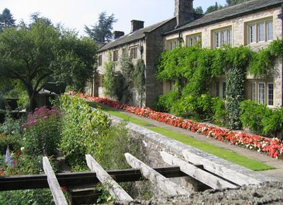
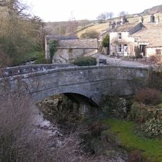
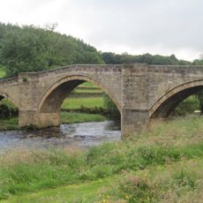
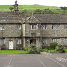
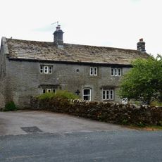
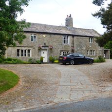
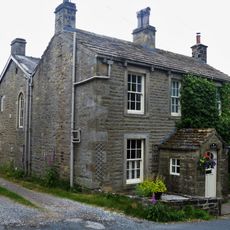
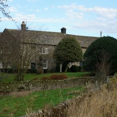
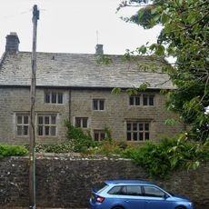
Parcevall Hall, Historic garden and country house in Appletreewick, England
Parcevall Hall is a Grade II* listed country house with gardens spanning multiple garden rooms, formal terraces, woodland sections, and dramatic limestone rock formations that rise along the hillside. The layout connects the house to the landscape through a series of descending garden areas that reveal different planting compositions as you move through them.
Sir William Milner established the gardens in 1927, drawing on plant collections gathered during expeditions to Western China and the Himalayas. The property later transitioned into an institutional retreat center, reflecting how private estates transformed into shared community spaces in the 20th century.
The property has served the Anglican Diocese of Leeds as a retreat center since 1963, welcoming both religious and secular groups. Visitors experience a place where contemplation and community gathering happen within a designed garden setting.
The site sits on hilly terrain and requires sturdy footwear to navigate the descending paths comfortably. Visitors should allow adequate time for exploration since the garden spans multiple levels and offers different routes to discover.
Plants originally collected from the Himalayas and Western China thrive unexpectedly in the Yorkshire Dales climate, creating a botanical collection that seems improbable for such a northern location. This gathering of distant species survives where few would predict they could adapt and flourish.
The community of curious travelers
AroundUs brings together thousands of curated places, local tips, and hidden gems, enriched daily by 60,000 contributors worldwide.