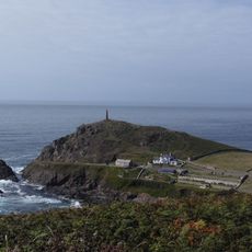
Porth Nanven, Remote beach in southwest Cornwall, England
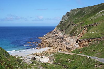
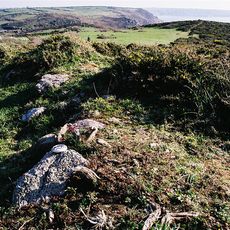
Porth Nanven is a remote beach in southwest Cornwall featuring large granite boulders scattered across its shoreline and steep cliffs rising on both sides of the narrow Cot Valley. The valley descends sharply to the beach, creating an enclosed cove with dark sand and a rugged coastline.
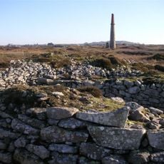
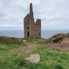
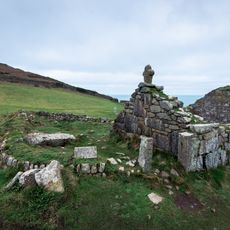
The geological formations developed around 120,000 years ago when sea levels were higher, creating an ancient beach that left behind the rounded stones we see today. Later, the area became part of Cornwall's tin mining economy, which shaped human activity along this coast for several centuries.
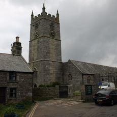
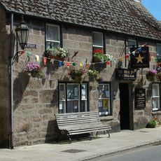
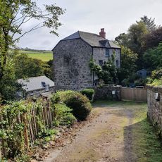
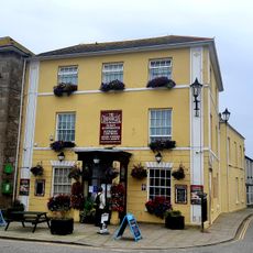
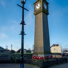
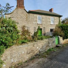
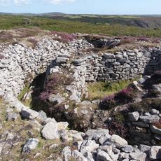
The beach sits near St Just, a former mining community where stone cottages reflect the area's tin extraction heritage. Local people connect this place to the region's working-class past, which still shapes how the village looks and feels today.
Access is via a single-track road from St Just with limited parking at the end of Cot Valley, so arriving early during busy seasons is advisable. The walk down to the beach is steep and requires sturdy footwear and caution, especially when wet.
The beach is known for its protected ovoid boulders of various sizes, which locals call 'Dinosaur Egg Beach' among visitors. This nickname spreads among tourists who notice how the rounded stones resemble giant eggs scattered across the shore.
The community of curious travelers
AroundUs brings together thousands of curated places, local tips, and hidden gems, enriched daily by 60,000 contributors worldwide.