
Pot Hole quarry, Limestone quarry near Mold, Denbighshire, Wales, United Kingdom
Location: Denbighshire
Elevation above the sea: 250 m
GPS coordinates: 53.12808,-3.20975
Latest update: March 17, 2025 16:39

Moel Famau
4.3 km
Loggerheads Country Park
3 km
Foel Fenlli
2.7 km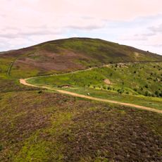
Moel Gyw
3 km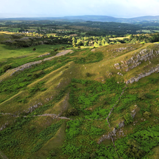
Bryn Alyn
955 m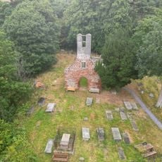
Old St. Peter's Church, Llanbedr Dyffryn Clwyd
4.6 km
St Garmon's Church
3.5 km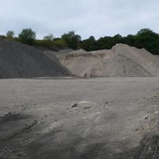
Graig quarry
3.3 km
St Berres' Church
934 m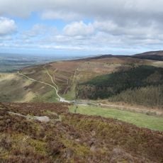
Bwlch Pen Barras
2.9 km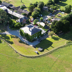
Sundial in the Churchyard of St Mary's Parish Church
4.6 km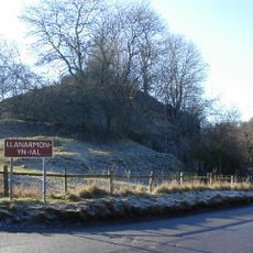
Tomen y Faerdre
3.5 km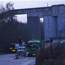
Cefn Mawr quarry
4 km
St Mary's Parish Church,
4.4 km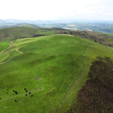
Moel Llanfair
3.8 km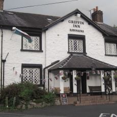
The Griffin Public House
4.7 km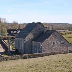
Capel Bethel
3.2 km
Plas Du
3.6 km
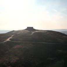
Jubilee Monument, Moel Fammau
4.3 km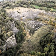
Pystyll Gwyn quarry
2.1 km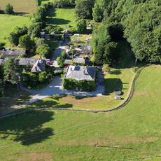
Bathafarn Hall
4.7 km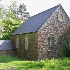
Tabernacl Welsh Independent Chapel
4.2 km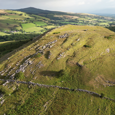
Bryn Alyn
1.2 km
Llwyn Onn
3.4 km
Ty Capel
3.2 km
Plas Llanarmon
4 km
The Old Vicarage
3.6 km
Maes-y-groes Bella
3.7 kmReviews
Visited this place? Tap the stars to rate it and share your experience / photos with the community! Try now! You can cancel it anytime.
Discover hidden gems everywhere you go!
From secret cafés to breathtaking viewpoints, skip the crowded tourist spots and find places that match your style. Our app makes it easy with voice search, smart filtering, route optimization, and insider tips from travelers worldwide. Download now for the complete mobile experience.

A unique approach to discovering new places❞
— Le Figaro
All the places worth exploring❞
— France Info
A tailor-made excursion in just a few clicks❞
— 20 Minutes