
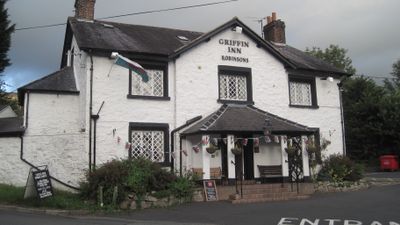
The Griffin Public House, Grade II listed building in Denbighshire. Prominently-sited on a bend of the road in the centre of the village group, opposite the church.
Location: Llanbedr-Dyffryn-Clwyd
Elevation above the sea: 89.9 m
Address: Mold Road, Llanbedr Dyffryn, Ruthin, LL15 1UP LL15 1UP
GPS coordinates: 53.12411,-3.28033
Latest update: September 19, 2025 16:01

Foel Fenlli
2.2 km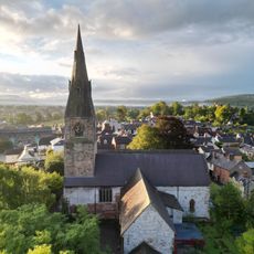
St Peter's Church
2.3 km
Seven Eyes
2.3 km
Ruthin Craft Centre
2 km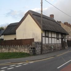
Rose Cottage, Ruthin
1.9 km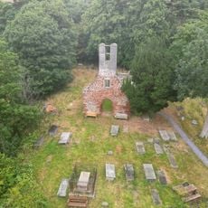
Old St. Peter's Church, Llanbedr Dyffryn Clwyd
516 m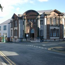
County Hall, Ruthin
2.2 km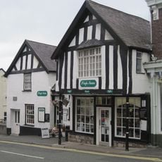
Siop Nain
2.3 km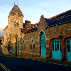
Ruthin Town Hall
2 km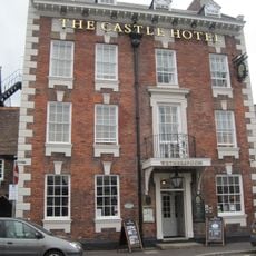
Castle Hotel, Ruthin
2.3 km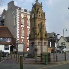
Peers Memorial
2.3 km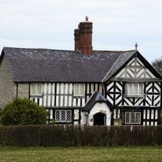
Caer Afallen
1.7 km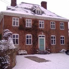
The Old Rectory, Llanbedr
636 m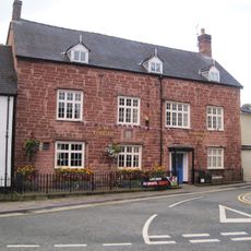
Plas Coch, Ruthin
2.1 km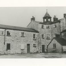
Ruthin Union Workhouse
2 km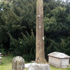
Churchyard Cross Shaft At St Meugan's Church
1.6 km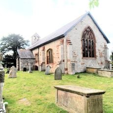
St Meugan's Church
1.6 km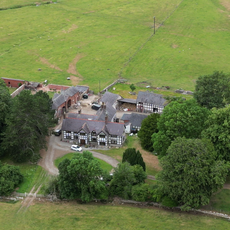
Cefn Coch
2.2 km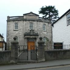
Pen-Dref Welsh Independent Chapel
2.2 km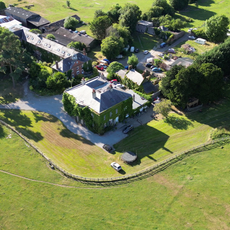
Sundial in the Churchyard of St Mary's Parish Church
1.5 km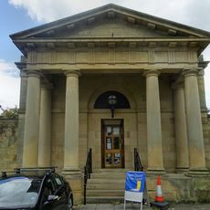
Ruthin Library
2.3 km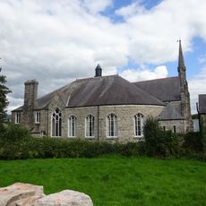
Tabernacl Chapel
2.1 km
Ruthin War Memorial
2.2 km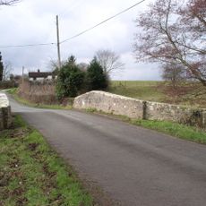
Pont-y-Wern
1.5 km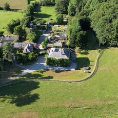
Bathafarn Hall
1.5 km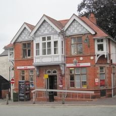
Post Office
2.3 km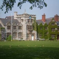
Ruthin School building
1.5 km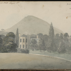
Llanbedr hall
693 mReviews
Visited this place? Tap the stars to rate it and share your experience / photos with the community! Try now! You can cancel it anytime.
Discover hidden gems everywhere you go!
From secret cafés to breathtaking viewpoints, skip the crowded tourist spots and find places that match your style. Our app makes it easy with voice search, smart filtering, route optimization, and insider tips from travelers worldwide. Download now for the complete mobile experience.

A unique approach to discovering new places❞
— Le Figaro
All the places worth exploring❞
— France Info
A tailor-made excursion in just a few clicks❞
— 20 Minutes