
RAF Zeals, military unit
Location: England
Inception: 1942
GPS coordinates: 51.09300,-2.32000
Latest update: March 14, 2025 15:31


Stourhead
1.3 km
Bristol High Cross
1.3 km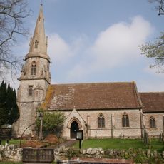
Church of St Martin
984 m
Church of St Peter, Stourton
1.3 km
Stourhead House
1.7 km
Small Grotto Below Temple Of Flora
1.4 km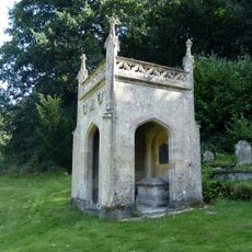
Hoare Monument In The Churchyard About 13 Metres South East Of Chancel Of Church Of St Peter
1.3 km
The Palladian Bridge
1.3 km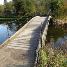
The Iron Bridge
1.3 km
Stourton Post Office And Stores
1.3 km
Gate Piers And Wall Between Stourton Club And The Spread Eagle
1.3 km
The Pantheon
1.4 km
Rockwork Bridge
1.2 km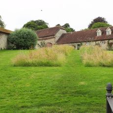
South Range Of Workshops On South Side Of Stable Yard
1.5 km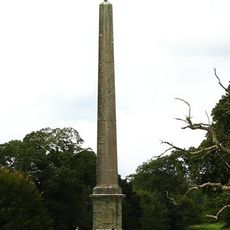
The Obelisk
1.9 km
The Temple Of Apollo
1.2 km
Zeals House
2.1 km
89, High Street
1.3 km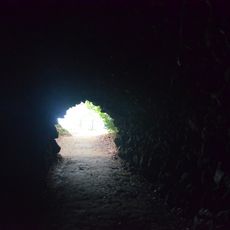
Grotto Underpass
1.2 km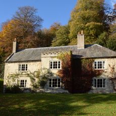
The Estate Office
1.3 km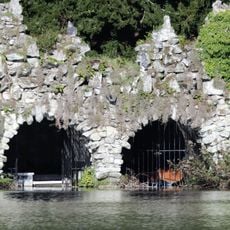
Rockwork Boathouse
1.4 km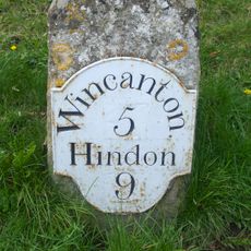
Milestone 50 Metres North West Of Post Office
1.2 km
87 And 88, High Street
1.3 km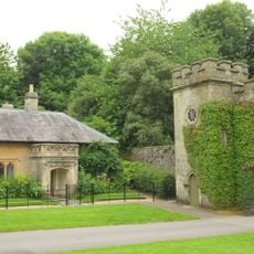
Clock Tower Gateway
1.4 km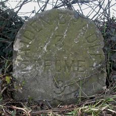
Milestone About 150 Metres South Of Junction With Long Lane
2 km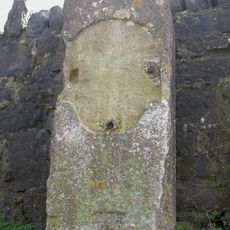
Milestone In Front Of East Black Dog Lodge
1.8 km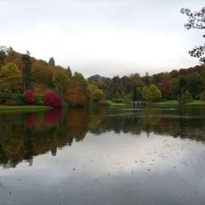
The Grotto And The River God's Cave
1.5 km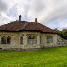
Drove Lodge
1.8 kmReviews
Visited this place? Tap the stars to rate it and share your experience / photos with the community! Try now! You can cancel it anytime.
Discover hidden gems everywhere you go!
From secret cafés to breathtaking viewpoints, skip the crowded tourist spots and find places that match your style. Our app makes it easy with voice search, smart filtering, route optimization, and insider tips from travelers worldwide. Download now for the complete mobile experience.

A unique approach to discovering new places❞
— Le Figaro
All the places worth exploring❞
— France Info
A tailor-made excursion in just a few clicks❞
— 20 Minutes