Chest opened
+${chestReward.xp} XP
Explorer
NOUVEAU ×${chestReward.collectible.quantity}
tapez pour fermer
Chest locked

Open chests in the app

Around Us is built for your phone — chests unlock when you walk, explore and capture nearby places.

Enable Location

We need your location to show you interesting places around you

Discover nearby places

Find interesting locations and hidden gems around you

Precise directions

Get accurate directions and distances to places

Your location is never shared with other users. It's only used when you tap the location button.

South Cheshire Way

Log in to your account

Start exploring — it's free

Trusted by 72,881 travelers worldwide

Continue with Google
Continue with Apple
or

We will send you a code to connect

By continuing, you accept our Terms and Conditions and our Privacy Policy

Check your inbox

We've sent a pincode in your inbox. Please enter the code below.

South Cheshire Way
Discussion Reviews 1 Photos
1.2k Popularity

South Cheshire Way

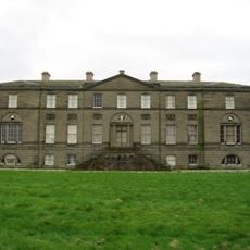
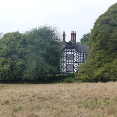
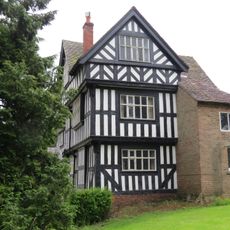
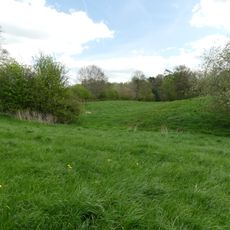
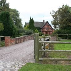
The South Cheshire Way is a long-distance trail stretching about 55 kilometers through the countryside of Shropshire and Cheshire, running from Grindley Brook to Mow Cop. The route travels through farmland and gentle hills, passing canals, small villages, and historic buildings such as Little Moreton Hall, a 500-year-old half-timbered manor surrounded by a moat.

Little Moreton Hall dates from the 16th century and reflects how people lived in this region hundreds of years ago. The trail connects these historic sites with the canals built during the industrial era, which fundamentally changed the landscape and how goods moved through the countryside.

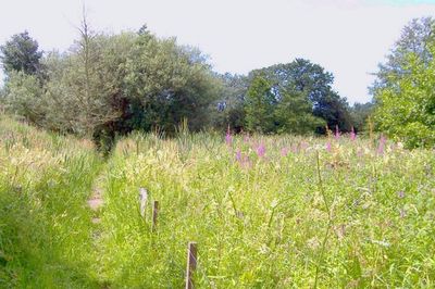
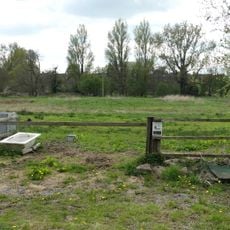
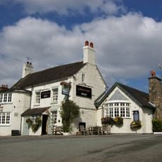
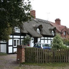
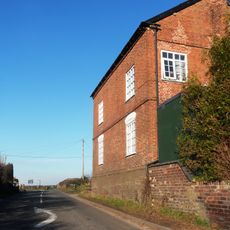
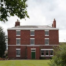
The trail passes through small villages like Wrenbury, where traditional pubs such as the Dusty Miller sit beside the canal and invite walkers to pause and rest. It reveals the daily life of rural communities, where farms and grazing animals shape the landscape and local shops and village pubs serve as gathering places for residents and visitors.

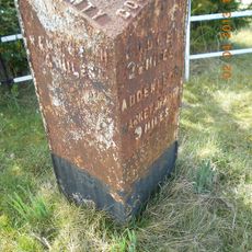
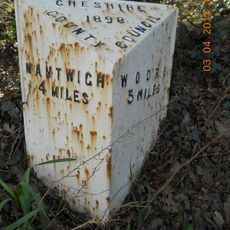
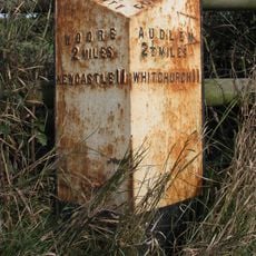
The trail is clearly marked and easy to follow, with signs on black and yellow backgrounds showing the correct route. Some sections are occasionally closed for repairs, so walkers should check current information about closures before setting out and bring detailed maps or GPS data for navigation.

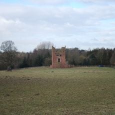
The trail ends with a view of old castle ruins at Mow Cop on a hilltop, an unexpected historic landmark rising above the countryside walked through. This dramatic finale gives walkers a special moment to pause and look back over the distance traveled.

The community of curious travelers

AroundUs brings together thousands of curated places, local tips, and hidden gems, enriched daily by 60,000 contributors worldwide.

Start exploring
GPS coordinates
53.01670,-2.45833
Latest update
February 9, 2026 07:45
Reviews
Share your experience

No review yet

Discussions
Start a discussion...

No discussion yet

« South Cheshire Way » is provided by Around Us (aroundus.com). Images and texts are derived from Wikimedia project under a Creative Commons license. You are allowed to copy, distribute, and modify copies of this page, under the conditions set by the license, as long as this note is clearly visible.

Discover hidden gems everywhere you go!

From secret cafés to breathtaking viewpoints, skip the crowded tourist spots and find places that match your style. Our app makes it easy with voice search, smart filtering, route optimization, and insider tips from travelers worldwide. Download now for the complete mobile experience.

Around Us App Screenshot

A unique approach to discovering new places

Le Figaro

All the places worth exploring

France Info

A tailor-made excursion in just a few clicks

20 Minutes

Around Us
Travel Guide & Maps
Download

Send to your phone

QR Code
1

Open the camera app on your mobile.

2

Point at the QR code with your camera. A notification will appear.

3

Tap the notification to open the link.