Chest opened
+${chestReward.xp} XP
Explorer
NOUVEAU ×${chestReward.collectible.quantity}
tapez pour fermer
Chest locked

Open chests in the app

Around Us is built for your phone — chests unlock when you walk, explore and capture nearby places.

Enable Location

We need your location to show you interesting places around you

Discover nearby places

Find interesting locations and hidden gems around you

Precise directions

Get accurate directions and distances to places

Your location is never shared with other users. It's only used when you tap the location button.

Log in to your account

Start exploring — it's free

Trusted by 72,986 travelers worldwide

Continue with Google
Continue with Apple
or

We will send you a code to connect

By continuing, you accept our Terms and Conditions and our Privacy Policy

Check your inbox

We've sent a pincode in your inbox. Please enter the code below.

South Yorkshire Coalfield
Discussion Reviews Photo
10.4k Popularity

South Yorkshire Coalfield, Coal basin in South Yorkshire, England.

The South Yorkshire Coalfield is a coal basin in South Yorkshire, England, stretching across parts of the historic counties of Yorkshire, Nottinghamshire, and Derbyshire. It holds several stacked coal seams that were worked through both deep pit mines and surface workings over many generations.

Coal extraction in this area dates to the 14th century, when small-scale digging supplied local forges and households with fuel. By the 18th and 19th centuries, the basin had grown into one of England's main sources of coal, driving the growth of towns across the region.

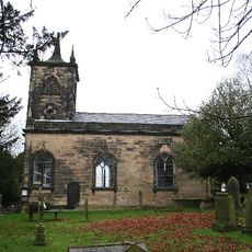
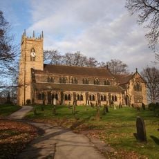
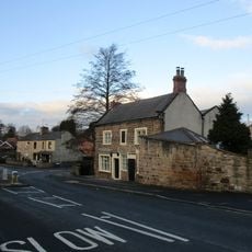
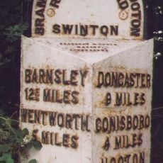
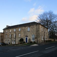
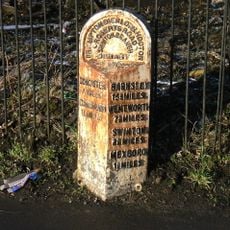
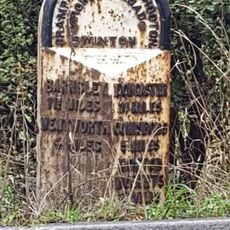
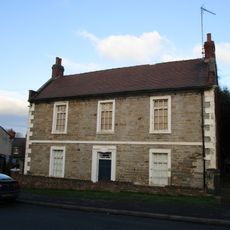
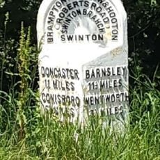
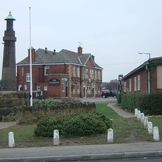
The pit villages that grew up across this coalfield still carry a strong sense of community tied to the mining years. Local museums, murals, and memorials in towns like Barnsley and Doncaster reflect how deeply mining shaped everyday life here.

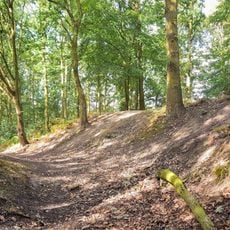
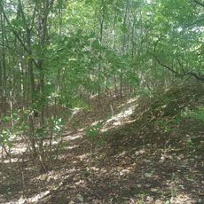
This coalfield covers a broad area with many former pit sites spread across different towns, and not all are open or easy to reach on foot. Checking in advance which heritage sites and museums are accessible helps avoid wasted trips across this large region.

The Middleton Railway, built in 1758 within this coalfield, was one of the first lines to receive official government approval through an Act of Parliament. It later became one of the earliest lines to switch from horse-drawn wagons to steam locomotives, making it a landmark in rail history.

The community of curious travelers

AroundUs brings together thousands of curated places, local tips, and hidden gems, enriched daily by 60,000 contributors worldwide.

Start exploring
GPS coordinates
53.48200,-1.29400
Latest update
March 3, 2026 08:21
Around this place
Rockingham Kiln
United Kingdom

Rockingham Kiln

2.9 km
Church of St John the Baptist
United Kingdom

Church of St John the Baptist

1.5 km
Church of St John the Baptist
United Kingdom

Church of St John the Baptist

2.1 km
Church of St Leonard
United Kingdom

Church of St Leonard

3.1 km
Church of St James
United Kingdom

Church of St James

3.5 km
Church of St Margaret
United Kingdom

Church of St Margaret

1.9 km
Church of St John
United Kingdom

Church of St John

2.9 km
Adwick Bridge
United Kingdom

Adwick Bridge

3.7 km
Roman Ridge: section 300yds (270m) long N of Birchwood (E of Chemical Cottages)
United Kingdom

Roman Ridge: section 300yds (270m) long N of Birchwood (E of Chemical Cottages)

3.2 km
Club House Of Rotherham Golf Club  Thrybergh Park
United Kingdom

Club House Of Rotherham Golf Club Thrybergh Park

2.3 km
Milepost In Pavement To Front Of Number 10
United Kingdom

Milepost In Pavement To Front Of Number 10

4 km
Denaby War Memorial
United Kingdom

Denaby War Memorial

3.3 km
Swinton House
United Kingdom

Swinton House

1.7 km
Mexborough Station And Station House
United Kingdom

Mexborough Station And Station House

1.1 km
The Earl Of Strafford
United Kingdom

The Earl Of Strafford

2.1 km
Milepost Approximately 100 Metres To West Of Junction With Carr Lane
United Kingdom

Milepost Approximately 100 Metres To West Of Junction With Carr Lane

1.6 km
Roman Ridge: section 520yds (480m) E of Dyson's Cottage to Long Plantation
United Kingdom

Roman Ridge: section 520yds (480m) E of Dyson's Cottage to Long Plantation

2.5 km
15, Fitzwilliam Street
United Kingdom

15, Fitzwilliam Street

1.7 km
Milepost Approximately 100 Metres To North West Of Junction With Highthron Road
United Kingdom

Milepost Approximately 100 Metres To North West Of Junction With Highthron Road

1.5 km
Roman Ridge: section 140yds (130m) long in Dyson's Plantation
United Kingdom

Roman Ridge: section 140yds (130m) long in Dyson's Plantation

2.9 km
Swinton Hall
United Kingdom

Swinton Hall

1.7 km
Milepost Approximately 70 Metres To West Of Junction With Denaby Lane
United Kingdom

Milepost Approximately 70 Metres To West Of Junction With Denaby Lane

2.7 km
Milepost Approximately 350 Metres To East Of Junction With Warren Vale
United Kingdom

Milepost Approximately 350 Metres To East Of Junction With Warren Vale

2.5 km
Roman Ridge: section 400yds (370m) long S of Abdy Farm
United Kingdom

Roman Ridge: section 400yds (370m) long S of Abdy Farm

4 km
Hawthorne Farmhouse
United Kingdom

Hawthorne Farmhouse

1.7 km
Milepost Approximately 45 Metres South West Of Junction With Abdy Lane
United Kingdom

Milepost Approximately 45 Metres South West Of Junction With Abdy Lane

3.3 km
Dalton Main Colliery Ltd Silverwood and Roundwood Collieries WWI Memorial, Thrybergh
United Kingdom

Dalton Main Colliery Ltd Silverwood and Roundwood Collieries WWI Memorial, Thrybergh

3.7 km
Milestone, just W of entrance to church, E end of Thrybergh
United Kingdom

Milestone, just W of entrance to church, E end of Thrybergh

3.2 km
Show the full map
Reviews
Share your experience

No review yet

Discussions
Start a discussion...

No discussion yet

« South Yorkshire Coalfield - Coal basin in South Yorkshire, England » is provided by Around Us (aroundus.com). Images and texts are derived from Wikimedia project under a Creative Commons license. You are allowed to copy, distribute, and modify copies of this page, under the conditions set by the license, as long as this note is clearly visible.

Discover hidden gems everywhere you go!

From secret cafés to breathtaking viewpoints, skip the crowded tourist spots and find places that match your style. Our app makes it easy with voice search, smart filtering, route optimization, and insider tips from travelers worldwide. Download now for the complete mobile experience.

Around Us App Screenshot

A unique approach to discovering new places

Le Figaro

All the places worth exploring

France Info

A tailor-made excursion in just a few clicks

20 Minutes

Around Us
Travel Guide & Maps
Download

Send to your phone

QR Code
1

Open the camera app on your mobile.

2

Point at the QR code with your camera. A notification will appear.

3

Tap the notification to open the link.