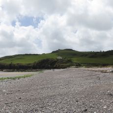
Sharkham Point, Protected coastal point in Brixham, England.
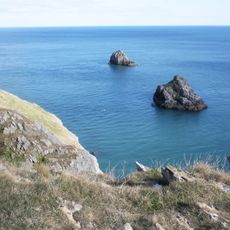
Sharkham Point is a limestone headland on the Brixham coast that extends into the English Channel, forming a natural boundary between St Mary's Bay and the surrounding shoreline. The site displays steep cliff faces with rock layers that reveal the geological story of this stretch of Devon coast.
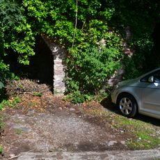
The headland was worked for iron ore between 1790 and 1930, with mining tunnels carved into the rock beneath the surface. This period of extraction shaped the landscape and left behind underground structures that remain partly intact today.
The point forms part of the South West Coast Path, where local fishermen established traditional navigation routes for their daily maritime activities.
The site is accessible via marked trails from Brixham and offers direct access to the rock formations along the water's edge. The paths can be slippery or uneven, especially in wet conditions, so sturdy footwear is recommended.
The Middle Devonian shales hold well-preserved marine creatures that are millions of years old, offering a window into ancient ocean life. These fossils allow visitors to observe traces of a prehistoric sea that once covered this region.
The community of curious travelers
AroundUs brings together thousands of curated places, local tips, and hidden gems, enriched daily by 60,000 contributors worldwide.