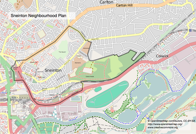
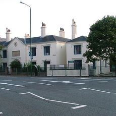
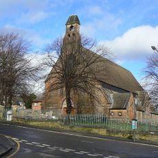
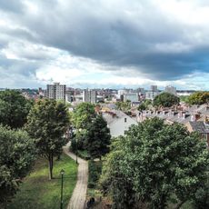
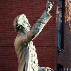
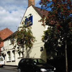
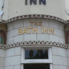
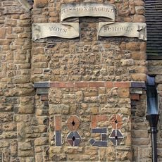
Sneinton, village and suburb of Nottingham, England
Location: City of Nottingham
Website: http://www.sneintonbusinessforum.com
Website: http://sneintonbusinessforum.com
GPS coordinates: 52.95510,-1.13067
Latest update: April 27, 2025 05:47
National Ice Centre
653 m
Green's Mill, Sneinton
338 m
Stonebridge city farm
362 m
Plumptre Hospital
774 m
Burrows Court
352 m
St. Stephen's Church, Sneinton
458 m
St. Matthias' Church, Nottingham
337 m
St Alban's Church, Sneinton
368 m
Green's Windmill
345 m
St. Catharine's Church, Nottingham
802 m
St. Christopher's Church, Sneinton
694 m
St Mary's School
802 m
St. Luke's Church, Nottingham
368 m
Albion Congregational Church
427 m
William Booth Memorial Complex
337 m
War Memorial 25 Metres North West of Church of St Stephen
416 m
High Pavement Unitarian Chapel
841 m
Cavendish Cinema
836 m
Lord Nelson Public House
542 m
Bath Inn Public House
477 m
Great Northern Warehouse At London Road Railway Station
837 m
Warehouses On The West And North Sides Of Trivet Square
861 m
Barker Gate Warehouse
854 m
Gateway 20 Metres East Of St Mary's School
776 m
Mills Building
841 m
People's Hall
840 m
Town Mission Ragged School And Attached Boundary Wall And Railings
532 m
23 And 23A, Barker Gate
762 mReviews
Visited this place? Tap the stars to rate it and share your experience / photos with the community! Try now! You can cancel it anytime.
Discover hidden gems everywhere you go!
From secret cafés to breathtaking viewpoints, skip the crowded tourist spots and find places that match your style. Our app makes it easy with voice search, smart filtering, route optimization, and insider tips from travelers worldwide. Download now for the complete mobile experience.
A unique approach to discovering new places❞
— Le Figaro
All the places worth exploring❞
— France Info
A tailor-made excursion in just a few clicks❞
— 20 Minutes