Enable Location

We need your location to show you interesting places around you

Discover nearby places

Find interesting locations and hidden gems around you

Precise directions

Get accurate directions and distances to places

Your location is never shared with other users. It's only used when you tap the location button.

Steeple Point to Marsland Mouth

Log in to your account

Start exploring — it's free

Trusted by 63,475 travelers worldwide

Continue with Google
Continue with Apple
or

We will send you a code to connect

By continuing, you accept our Terms and Conditions and our Privacy Policy

Check your inbox

We've sent a pincode in your inbox. Please enter the code below.

Steeple Point to Marsland Mouth
Discussion Reviews 1 Photos
1.2k Popularity

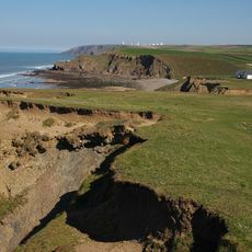
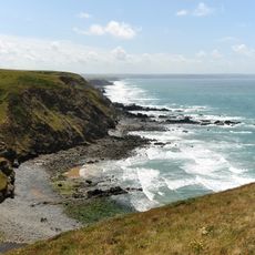
Steeple Point to Marsland Mouth, Scientific conservation area on the north Cornish coast, England

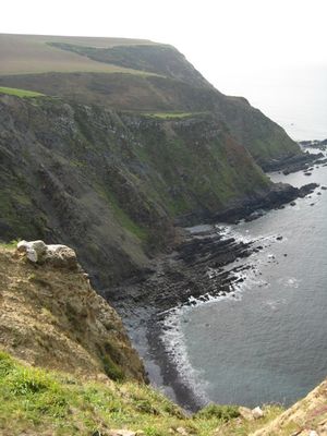
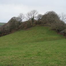
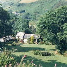
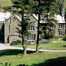
Steeple Point to Marsland Mouth is a protected conservation area along the north Cornish coast that covers diverse natural habitats. The site features coastal cliffs, grasslands, and a river valley mouth where different plant and animal communities thrive.

The area received formal protection in 1973 when it was designated as a Site of Special Scientific Interest due to its natural features. This recognition established lasting conservation measures for this section of coastline.

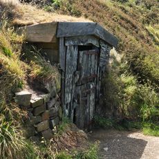
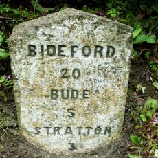
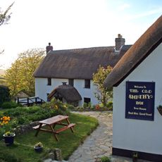
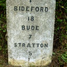
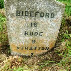
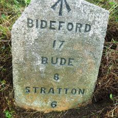
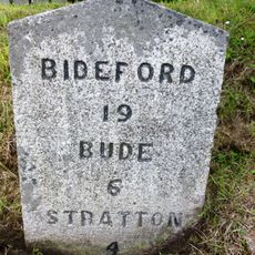
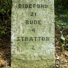
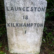
The South West Coast Path runs through the site, linking nearby villages and giving people a way to explore the landscape together. Walking these routes is woven into how locals and visitors experience this stretch of coastline.

Visitors can explore the site using established walking paths that are open throughout the year. Good footwear is recommended since the trails run along cliffs and uneven coastal terrain.

The location is home to fourteen dragonfly species, including several uncommon varieties adapted to coastal conditions. In the Marsland Valley section, visitors may spot roe deer that make their home in this sheltered valley.

The community of curious travelers

AroundUs brings together thousands of curated places, local tips, and hidden gems, enriched daily by 60,000 contributors worldwide.

Start exploring
Location
GPS coordinates
50.91490,-4.55990
Latest update
December 14, 2025 18:04
Around this place
Hawker's Hut
United Kingdom

Hawker's Hut

861 m
Stowe House, Kilkhampton
United Kingdom

Stowe House, Kilkhampton

4.9 km
Church of St Morwenna and St John the Baptist, Morwenstow
United Kingdom

Church of St Morwenna and St John the Baptist, Morwenstow

730 m
Sandymouth Beach
United Kingdom

Sandymouth Beach

6 km
Penstowe Castle
United Kingdom

Penstowe Castle

6 km
St Olaf's Church, Bude
United Kingdom

St Olaf's Church, Bude

8.5 km
St Nectan's Church, Welcombe
United Kingdom

St Nectan's Church, Welcombe

3.6 km
Duckpool to Furzey Cove
United Kingdom

Duckpool to Furzey Cove

6.5 km
Church of St James
United Kingdom

Church of St James

6.9 km
Holy well of St John about 125 – metres south east of the Church of St Morwenna
United Kingdom

Holy well of St John about 125 – metres south east of the Church of St Morwenna

823 m
Marsland Manor
United Kingdom

Marsland Manor

1.7 km
Kilkhampton War Memorial
United Kingdom

Kilkhampton War Memorial

6.9 km
Rectory Farmhouse
United Kingdom

Rectory Farmhouse

890 m
Stile, lychgate and former mortuary adjoining lychgate at south about 20m south-east of the Church of St Morwenna
United Kingdom

Stile, lychgate and former mortuary adjoining lychgate at south about 20m south-east of the Church of St Morwenna

794 m
Milestone, just S of 30mph sign
United Kingdom

Milestone, just S of 30mph sign

7 km
Algernon Carteret Thynne monument, Kilkhampton
United Kingdom

Algernon Carteret Thynne monument, Kilkhampton

6.9 km
Duckpool Beach
United Kingdom

Duckpool Beach

4.4 km
The Old Smithy
United Kingdom

The Old Smithy

3.6 km
The Vicarage
United Kingdom

The Vicarage

730 m
Speke's Mill Mouth Waterfall
United Kingdom

Speke's Mill Mouth Waterfall

8 km
Docton Mill
United Kingdom

Docton Mill

7.6 km
Milestone, N of Stursdon Cross
United Kingdom

Milestone, N of Stursdon Cross

5.9 km
Milestone, Taylors Cross, N of Kilkhampton
United Kingdom

Milestone, Taylors Cross, N of Kilkhampton

6.9 km
Milestone, Barnacott, lay-by (the old road)
United Kingdom

Milestone, Barnacott, lay-by (the old road)

7.6 km
Milestone, Bush, cutting on old road over Hunthill
United Kingdom

Milestone, Bush, cutting on old road over Hunthill

8.5 km
Milestone, just N of East Thorne Touring Park (East Thorne Farm)
United Kingdom

Milestone, just N of East Thorne Touring Park (East Thorne Farm)

7.6 km
Milestone, Crimp
United Kingdom

Milestone, Crimp

5.4 km
Milestone, Woolley, just S of Bradworthy turn
United Kingdom

Milestone, Woolley, just S of Bradworthy turn

6.1 km
Show the full map
Reviews
Share your experience

No review yet

Discussions
Start a discussion...

No discussion yet

« Steeple Point to Marsland Mouth - Scientific conservation area on the north Cornish coast, England » is provided by Around Us (aroundus.com). Images and texts are derived from Wikimedia project under a Creative Commons license. You are allowed to copy, distribute, and modify copies of this page, under the conditions set by the license, as long as this note is clearly visible.

Discover hidden gems everywhere you go!

From secret cafés to breathtaking viewpoints, skip the crowded tourist spots and find places that match your style. Our app makes it easy with voice search, smart filtering, route optimization, and insider tips from travelers worldwide. Download now for the complete mobile experience.

Around Us App Screenshot

A unique approach to discovering new places

Le Figaro

All the places worth exploring

France Info

A tailor-made excursion in just a few clicks

20 Minutes

Around Us
Travel Guide & Maps
Download

Send to your phone

QR Code
1

Open the camera app on your mobile.

2

Point at the QR code with your camera. A notification will appear.

3

Tap the notification to open the link.