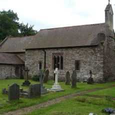
Sugar Loaf, Mountain peak in Brecon Beacons National Park, Wales.
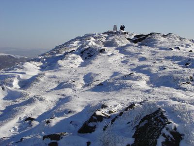
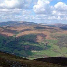
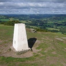
Sugar Loaf is a hill in Brecon Beacons National Park in Wales with a distinctive conical shape that stands out clearly from the surrounding landscape. The summit rises approximately 600 meters above sea level and dominates views across the Monmouthshire countryside.
The area shows evidence of ancient settlement, with archaeological finds from the 1990s uncovering stone tools from the Mesolithic, Neolithic, and Bronze Ages. These discoveries at Y Graig, a southern foothill, reveal how long people have been drawn to this landscape.
The hill carries both English and Welsh names, with its Welsh designation Mynydd Pen-y-fâl meaning mountain of the top of the peak. Visitors encounter this bilingual heritage throughout the region, where both names appear together on signs and maps.
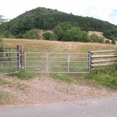
The hill is accessible to walkers, with several routes to the summit varying in length and difficulty. Sturdy footwear is advisable, as the paths can be slippery depending on weather conditions and the ground becomes soft after rain.
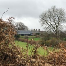
A vineyard operates on the south-facing slopes near Abergavenny, taking advantage of the specific geological conditions of the area for wine production. This is an unexpected element in a mountainous region of northern Europe, where one would not typically expect viticulture.
The community of curious travelers
AroundUs brings together thousands of curated places, local tips, and hidden gems, enriched daily by 60,000 contributors worldwide.