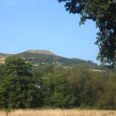
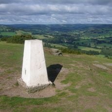
Crug Mawr, Hill summit in Brecon Beacons National Park, Wales.
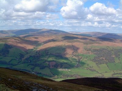
Crug Mawr is a mountain summit in Brecon Beacons National Park, Wales, rising to 550 meters in height. Four distinct ridges extend from its peak toward the northwest, east, southeast, and southwest directions.
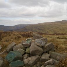
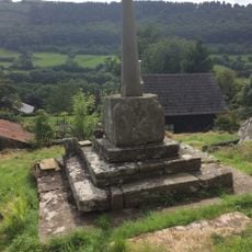
The summit served as a navigation reference point over centuries, marked by an established triangulation station. This type of surveying marker shows how important this location was for mapping the region in past times.
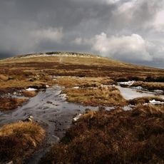
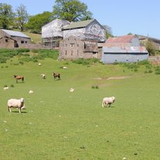
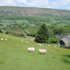
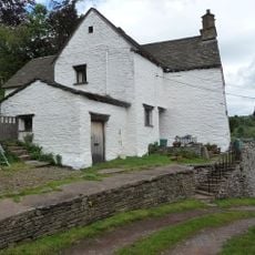
This peak sits within the Black Mountains area, where local shepherds have long practiced their trade on the surrounding grasslands. The landscape reflects this pastoral heritage, with sheep grazing patterns still shaping how the slopes look across the seasons.
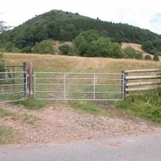
The summit is accessible via the Beacons Way hiking trail, which runs between Partrishow and Llanbedr and provides direct access routes. Visitors should bring proper equipment and weather protection, as the elevation and exposed terrain can bring sudden weather changes.
From here, two river valleys can be seen at once: the Grwyne Fawr and Grwyne Fechan valleys, which shape the surrounding terrain. The southwestern ridge connects this summit to the nearby Blaen-yr-henbant peak, forming a linked mountain chain.
The community of curious travelers
AroundUs brings together thousands of curated places, local tips, and hidden gems, enriched daily by 60,000 contributors worldwide.