
Stockton, village and civil parish in Warwickshire, UK
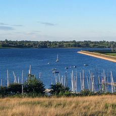
Draycote Water
5.4 km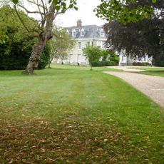
Ladbroke Hall
5.5 km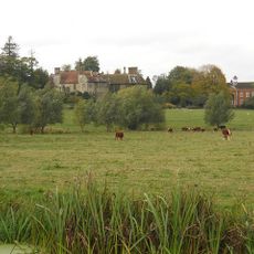
Birdingbury Hall
5 km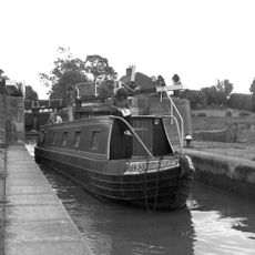
Bascote Locks
4.2 km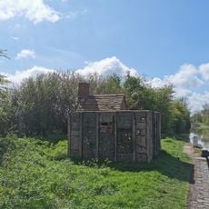
PILLBOX (TYPE FW3/26), Lock No.10 (Oxford Canal), Chapel Green, near Napton on the Hill.
4 km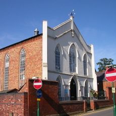
Congregational Church
2.5 km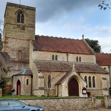
Church of St Esprit
6 km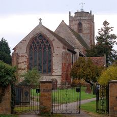
Church of the Holy Trinity
2.8 km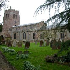
Church of All Saints, Leamington Hastings
3.9 km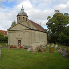
Church of St Leonard
4.9 km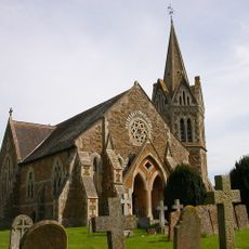
Church of St John the Baptist, Shuckburgh
5.4 km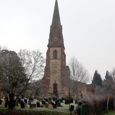
Church of St James
2.7 km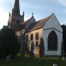
Church of All Saints
5.4 km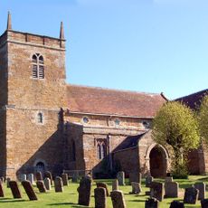
Church of St Lawrence
3.6 km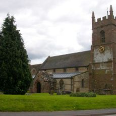
Church of St Michael
158 m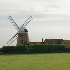
Napton Windmill
3.3 km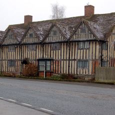
Tudor House
2.6 km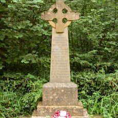
Bascote Heath And Stoneythorpe War Memorial
4.6 km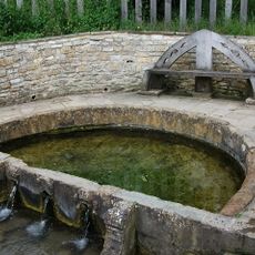
'The Holy Well'
3.2 km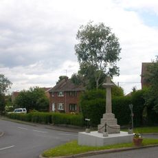
Birdingbury War Memorial
4.5 km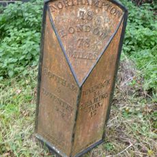
Milestone Approximately 10 Metres South Of Red House Farm House
5.7 km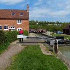
Napton Bottom Lock, Oxford Canal
3.7 km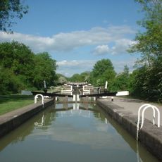
Grand Union Canal, Stockton Locks, To The East Of Bridge Number 23 (Not Included)
1.3 km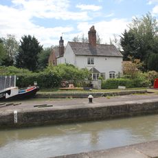
Grand Union Canal, Shop Lock Approximately 7 Metres North Of Cottage Number 221
1.6 km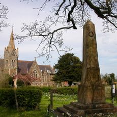
Lower Shuckburgh War Memorial
5.4 km
The Old Rectory
5.4 km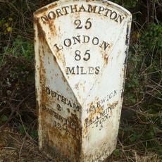
Milepost, 60m W of jct with B4452
5.3 km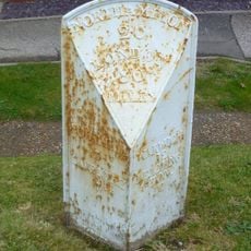
Milepost, in front of Middle Cottage
3.2 kmReviews
Visited this place? Tap the stars to rate it and share your experience / photos with the community! Try now! You can cancel it anytime.
Discover hidden gems everywhere you go!
From secret cafés to breathtaking viewpoints, skip the crowded tourist spots and find places that match your style. Our app makes it easy with voice search, smart filtering, route optimization, and insider tips from travelers worldwide. Download now for the complete mobile experience.

A unique approach to discovering new places❞
— Le Figaro
All the places worth exploring❞
— France Info
A tailor-made excursion in just a few clicks❞
— 20 Minutes