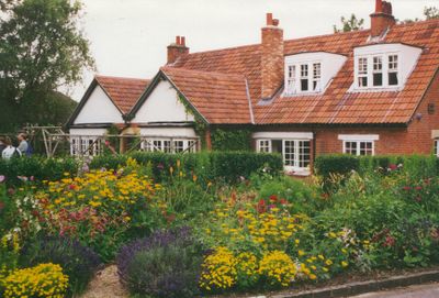
The Kilns, Former residential building in Headington, Oxford, United Kingdom.
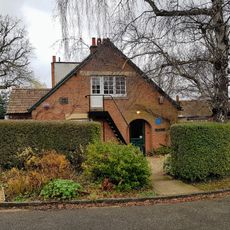
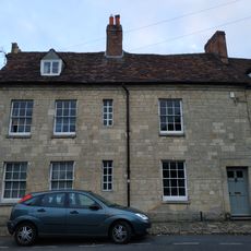
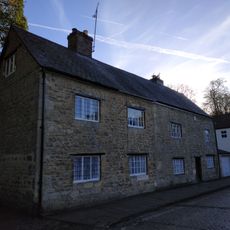
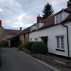
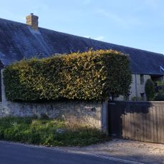
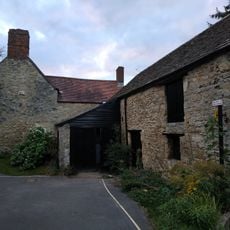
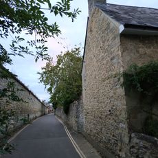
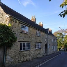
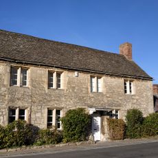
The Kilns is a two-story brick house with a traditional English garden located on Oxford's eastern edge near Headington Quarry. The building features multiple chimneys and maintains its original brick exterior from the period of construction.
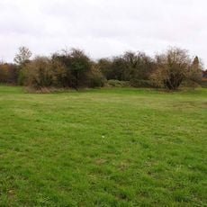
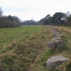
The property dates to the early 1920s, built on land that previously served as a brick kiln facility. Its transformation from production site to residence reflects how the location was repurposed during that period.
The name reflects its past industrial purpose, and visitors today experience it as a physical record of the area's working heritage. The brick construction and layout show how production and domestic life were once intertwined here.
Visits to the property require advance arrangement through the local heritage organization that manages it. Contact ahead to schedule a viewing at a time that works for you.
The building incorporates original brick drying structures that were integrated into the residential spaces. These production-era elements remain visible today, showing how the conversion was done pragmatically.
GPS coordinates: 51.75680,-1.19000
Latest update: December 7, 2025 20:23
Headington Shark
1.6 km
Holy Trinity Church
560 m
CS Lewis Nature Reserve
67 m
Rock Edge Nature Reserve
1 km
Brasenose Wood and Shotover Hill
848 m
The Kilns (C S Lewis House)
10 m
St Francis Church
1.7 km
The Britannia Public House
1.7 km
Church of England School
559 m
Bury Knowle
1.5 km
3, Larkins Lane
1.7 km
Headington Quarry War Memorial
568 m
10, St Andrews Road
1.7 km
Stone In London Road Outside Number 196
1.2 km
1 and 2, North Place
1.6 km
9, The Croft
1.7 km
Wall of Mathers Farm Fronting Larkins Lane
1.7 km
1 and 3, St Andrews Road
1.7 km
11, The Croft
1.7 km
Building At Rear Of Number 12 (Fronting The Croft)
1.7 km
Barn Of Mathers Farm
1.6 km
Boundary Wall Of Bury Knowle
1.5 km
Wall of Headington House
1.6 km
8, The Croft
1.7 km
Boundary Wall Of Number 56 Fronting The Croft
1.6 km
1 and 2, Larkins Lane
1.7 km
Milestone Approximately 98 Metres West Of Junction With Merewood Avenue
795 m
Mathers Farmhouse
1.7 kmVisited this place? Tap the stars to rate it and share your experience / photos with the community! Try now! You can cancel it anytime.
Discover hidden gems everywhere you go!
From secret cafés to breathtaking viewpoints, skip the crowded tourist spots and find places that match your style. Our app makes it easy with voice search, smart filtering, route optimization, and insider tips from travelers worldwide. Download now for the complete mobile experience.
A unique approach to discovering new places❞
— Le Figaro
All the places worth exploring❞
— France Info
A tailor-made excursion in just a few clicks❞
— 20 Minutes