Enable Location

We need your location to show you interesting places around you

Discover nearby places

Find interesting locations and hidden gems around you

Precise directions

Get accurate directions and distances to places

Your location is never shared with other users. It's only used when you tap the location button.

Tregonning Hill

Log in to your account

Start exploring — it's free

Trusted by 61,560 travelers worldwide

Continue with Google
Continue with Apple
or

We will send you a code to connect

By continuing, you accept our Terms and Conditions and our Privacy Policy

Check your inbox

We've sent a pincode in your inbox. Please enter the code below.

Tregonning Hill

Tregonning Hill, Scientific and archaeological site in Cornwall, England.

Description

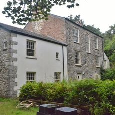
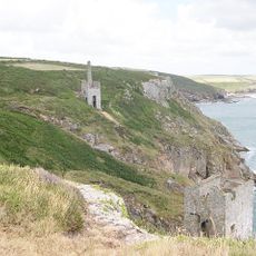
Tregonning Hill is a hill rising to 192 meters in southwest Cornwall that spans across the parishes of Breage and Germoe. The site features granite outcrops and contains archaeological evidence of settlement dating from different periods.

History

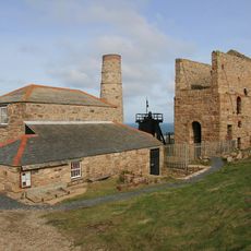
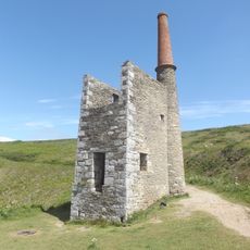
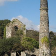
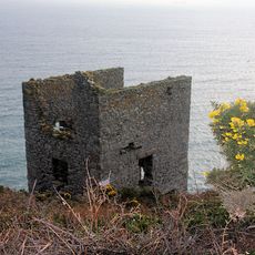
Settlement on the hill dates back to the Iron Age, as shown by fortification remains that are still visible today. In the 1700s William Cookworthy discovered kaolin here, a material that transformed pottery and porcelain making across Britain.

Culture

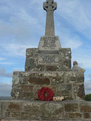
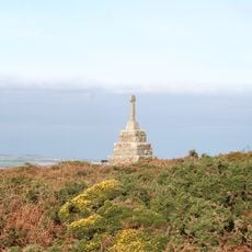
The summit holds the remains of Castle Pencaire, an Iron Age fort that shows how people built defenses on this high ground long ago. Walking around these ancient structures gives a sense of the settlement patterns and strategies of the region.

Practical

Several walking trails lead to the hilltop from access points in both parishes and are open throughout the year. Wear sturdy shoes since the terrain can be steep and slippery, especially after wet weather.

Did you know?

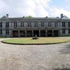
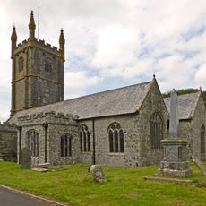
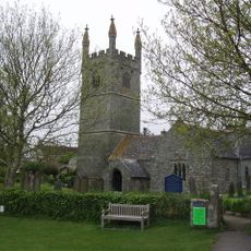
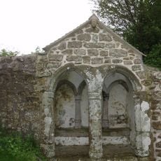
The hill has links to St. Breaca, an Irish saint who established a settlement and religious buildings here in the 6th century. This early Christian connection shows how closely Ireland and Cornwall were tied together in that period.

Location
Location
GPS coordinates
50.11840,-5.35510
Latest update
December 12, 2025 14:22

AroundUs brings together thousands of curated places, local tips, and hidden gems, enriched daily by 60,000 contributors worldwide. Discover all places nearby (Breage).

Around this place
Cornwall and West Devon Mining Landscape
United Kingdom

Cornwall and West Devon Mining Landscape

2.8 km
Godolphin Estate
United Kingdom

Godolphin Estate

2.2 km
Pengersick Castle
United Kingdom

Pengersick Castle

2.4 km
Godolphin House
United Kingdom

Godolphin House

2.2 km
Church of St Breaca, Breage
United Kingdom

Church of St Breaca, Breage

2 km
Wheal Prosper Engine House
United Kingdom

Wheal Prosper Engine House

2.8 km
Wheal Trewavas
United Kingdom

Wheal Trewavas

3.1 km
Church of Saint Germoe
United Kingdom

Church of Saint Germoe

1.7 km
The Godolphin Arms Public House
United Kingdom

The Godolphin Arms Public House

1.8 km
The Queens Arms Public House
United Kingdom

The Queens Arms Public House

1.9 km
Breage, Germoe and Godolphin War Memorial
United Kingdom

Breage, Germoe and Godolphin War Memorial

2.1 km
Detached Chimney At Sw595290, Wheal Grey
United Kingdom

Detached Chimney At Sw595290, Wheal Grey

959 m
War Memorial near Castle Pencair Fort
United Kingdom

War Memorial near Castle Pencair Fort

539 m
Godolphin Count House
United Kingdom

Godolphin Count House

2.6 km
Engine House At Sw 600265, New Engine Shaft, Trewavas Mine
United Kingdom

Engine House At Sw 600265, New Engine Shaft, Trewavas Mine

3.1 km
Trevena Cross
United Kingdom

Trevena Cross

1.6 km
Milestone at SW607283
United Kingdom

Milestone at SW607283

1.3 km
The Toll House
United Kingdom

The Toll House

993 m
Milestone At Sw621279
United Kingdom

Milestone At Sw621279

2.5 km
Stabling And Cobbled Pavements Adjoining Godolphin House
United Kingdom

Stabling And Cobbled Pavements Adjoining Godolphin House

2.2 km
Detached Chimney At Sw 600265, Serving Engine House At New Engine Shaft, Trewavas Mine
United Kingdom

Detached Chimney At Sw 600265, Serving Engine House At New Engine Shaft, Trewavas Mine

3.1 km
Detached Chimney At Sw 598263, Trewavas Mine
United Kingdom

Detached Chimney At Sw 598263, Trewavas Mine

3.1 km
Milestone At Sw592288
United Kingdom

Milestone At Sw592288

1.3 km
Engine House And Attached Boiler House At Sw594290 Wheal Grey
United Kingdom

Engine House And Attached Boiler House At Sw594290 Wheal Grey

958 m
Milestone At Sw576292
United Kingdom

Milestone At Sw576292

2.7 km
Side and King's Garden at Godolphin House
United Kingdom

Side and King's Garden at Godolphin House

2.1 km
St Germoe's Chair
United Kingdom

St Germoe's Chair

1.7 km
Milestone, Huthnance, E of camp site
United Kingdom

Milestone, Huthnance, E of camp site

3.1 km
Show the full map
« Tregonning Hill - Scientific and archaeological site in Cornwall, England » is provided by Around Us (aroundus.com). Images and texts are derived from Wikimedia project under a Creative Commons license. You are allowed to copy, distribute, and modify copies of this page, under the conditions set by the license, as long as this note is clearly visible.

Discover hidden gems everywhere you go!

From secret cafés to breathtaking viewpoints, skip the crowded tourist spots and find places that match your style. Our app makes it easy with voice search, smart filtering, route optimization, and insider tips from travelers worldwide. Download now for the complete mobile experience.

Around Us App Screenshot

A unique approach to discovering new places

Le Figaro

All the places worth exploring

France Info

A tailor-made excursion in just a few clicks

20 Minutes

Around Us
Travel Guide & Maps
Download

Send to your phone

QR Code
1

Open the camera app on your mobile.

2

Point at the QR code with your camera. A notification will appear.

3

Tap the notification to open the link.