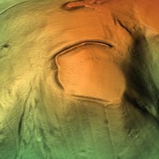
Urishay Castle, Medieval castle ruins in Peterchurch, England.
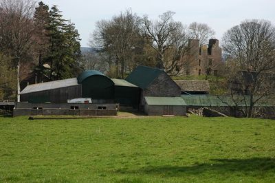
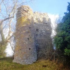
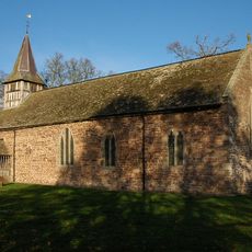
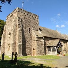
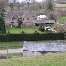
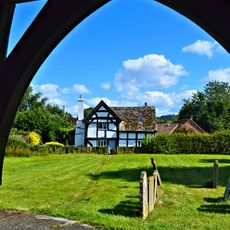
Urishay Castle comprises the remains of a medieval stone fortification located west of Peterchurch in Herefordshire, along with a 16th-century chapel and a 17th-century house. The site holds the status of a protected archaeological monument and remains open to visitors today.
The name comes from Ulric, a 12th-century landholder, combined with the English word 'Hay' meaning an enclosed area for hunting wild game. The site expanded over time, as shown by the chapel and house structures that came later.
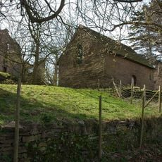
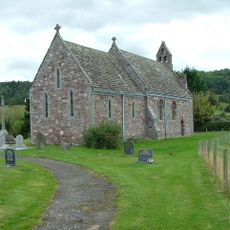
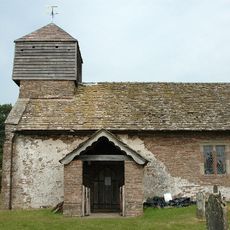
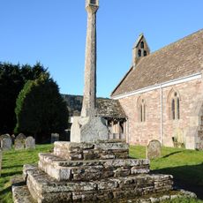
The chapel holds a stone altar marked with five carved crosses that show how people worshipped in this rural corner of medieval England. These simple markings tell the story of spiritual life in the countryside.
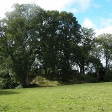
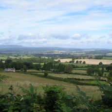
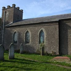
The site is maintained by the Friends of Friendless Churches organization, which ensures ongoing care and public access to the grounds. The location sits somewhat back from the main road, so comfortable shoes and time to explore on foot are worthwhile.
An entire 15th-century room from the castle was shipped to Kansas in 1908 and now stands inside the Collins Library at Baker University. This unusual relocation gave the chamber a second life across the Atlantic.
Location: Peterchurch
Part of: Motte castle, chapel, post-medieval house and garden remains east of Urishay Castle Farm
GPS coordinates: 52.03230,-2.98820
Latest update: December 9, 2025 12:25
Snodhill Castle
2.8 km
Dorstone Castle
4.2 km
Urishay Castle Chapel
56 m
Poston Camp
3.6 km
Dorstone Hill
4.7 km
Church of St Leonard
5.3 km
Church of St Bartholomew
4 km
Church of St Faith
4.3 km
Church of St Margaret
4.9 km
Church of St John the Baptist
5.2 km
Church of St Mary
4.3 km
Church of St Michael
3.4 km
Church of St Peter
2.4 km
Church of St Mary
3.6 km
Wellbrook Manor
2.9 km
Milestone About 120 Metres North East Of Church Of St Peter
2.5 km
Milestone About 250 Metres North-East Of Church Of St Faith
4.4 km
The Old Vicarage
5.2 km
Churchyard cross in St Leonard's churchyard
5.3 km
Milestone, 60m W Slough Bridge, Turnastone, Cothill
2.7 km
Milepost, Poston; opp. Poston Cottage
3.3 km
Dorstone village cross
4.2 km
Milepost, 45m S jcn B4348
4.6 km
Milepost, N of village, N of Preston turn
5.4 km
Milestone, Llandee; 280m N Llandee
5.5 km
Milepost, 50m E jcn B4347, opp. The Croft
4.7 km
Milepost, below Asper Wood
5.4 km
Milepost, Pontapina; opp. Pontapina Brake
5.4 kmVisited this place? Tap the stars to rate it and share your experience / photos with the community! Try now! You can cancel it anytime.
Discover hidden gems everywhere you go!
From secret cafés to breathtaking viewpoints, skip the crowded tourist spots and find places that match your style. Our app makes it easy with voice search, smart filtering, route optimization, and insider tips from travelers worldwide. Download now for the complete mobile experience.
A unique approach to discovering new places❞
— Le Figaro
All the places worth exploring❞
— France Info
A tailor-made excursion in just a few clicks❞
— 20 Minutes