Tabular Hills, Limestone hills in North Yorkshire, England
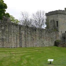
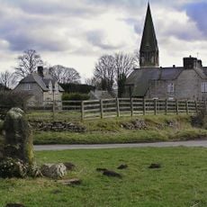
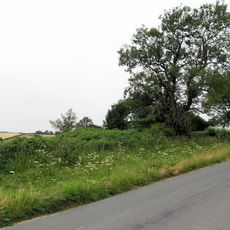
Tabular Hills are limestone hills extending east to west along the southern edge of the North York Moors, running from Scarborough to Black Hambleton. They are defined by their flat-topped summits, which give them their distinctive tablet-like shape.
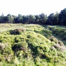
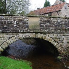
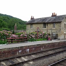
During the last ice age, glacial meltwater carved deep valleys through these hills, including Newton Dale and Forge Valley. This erosion shaped the landscape you see today.
Local people call the flat summits 'nabs', a term rooted in North Yorkshire's way of describing these landforms. You will hear this word used naturally by residents and see it marked on regional maps.
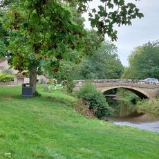
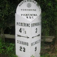
The Tabular Hills Walk is a long-distance walk of around 77 kilometers between Helmsley and Scalby Mills with clear waymarking throughout. Multiple entry points allow you to start from various locations along the route.
The northern escarpment rises steeply around 60 meters above the moorland, creating the distinctive flat-topped profile. This striking slope is visible from a distance and forms one of the area's most noticeable landforms.
The community of curious travelers
AroundUs brings together thousands of curated places, local tips, and hidden gems, enriched daily by 60,000 contributors worldwide.