Chest opened
+${chestReward.xp} XP
Explorer
NOUVEAU ×${chestReward.collectible.quantity}
tapez pour fermer

See the monuments around you in AR Open chests in the app

Around Us is built for your phone — point your camera at the streets and discover the monuments and places around you in augmented reality. Around Us is built for your phone — chests unlock when you walk, explore and capture nearby places.

Enable Location

We need your location to show you interesting places around you

Discover nearby places

Find interesting locations and hidden gems around you

Precise directions

Get accurate directions and distances to places

Your location is never shared with other users. It's only used when you tap the location button.

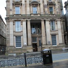
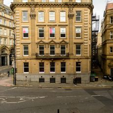
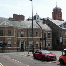
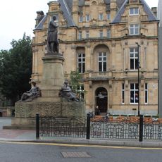
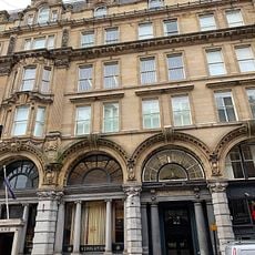
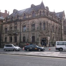
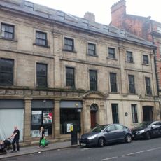
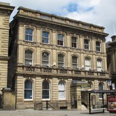
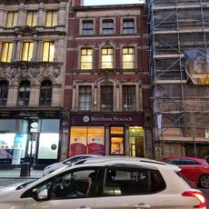
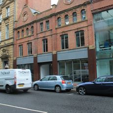
Westgate House, Newcastle upon Tyne

Log in to your account

Start exploring — it's free

Trusted by 85,495 travelers worldwide

Continue with Google
Continue with Apple
or

We will send you a code to connect

By continuing, you accept our Terms and Conditions and our Privacy Policy

Check your inbox

We've sent a pincode in your inbox. Please enter the code below.

Westgate House, Newcastle upon Tyne
Discussion Reviews 1 Photos
2.1k Popularity

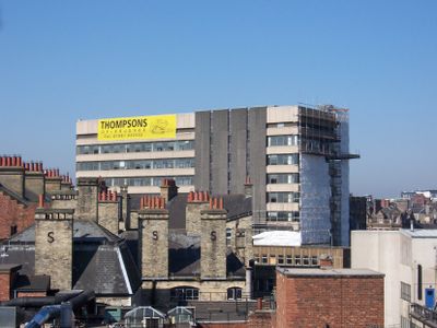
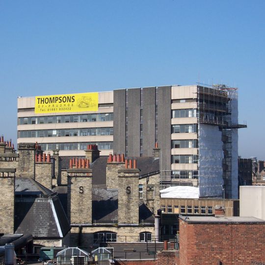
Westgate House, Newcastle upon Tyne, Brutalist office block in Newcastle upon Tyne, England.

Westgate House was a 12-story concrete building in Newcastle upon Tyne, located opposite the train station along Westgate Road. The massive concrete walls and clear geometric form were typical of the brutalist style that defined this era of construction.

The building was completed in 1972 and initially housed government offices before serving various organizations over the decades. It remained occupied until 2001, when the Citizens Advice Bureau departed as the final tenant, leading to its demolition in 2006.

Channel 4's television series 'Demolition' featured the building, where viewers selected it among twelve structures warranting removal.

The building was dismantled piece by piece, as nearby structures made controlled explosion techniques impossible. This manual demolition approach was time-consuming but necessary to protect the surrounding buildings from damage.

The building was featured in a television series about demolition, where viewers voted on which structures should be torn down. The top two floors differed in construction from the levels below, creating specific challenges during the removal process.

The community of curious travelers

AroundUs brings together thousands of curated places, local tips, and hidden gems, enriched daily by 60,000 contributors worldwide.
Start exploring
Inception
1972
GPS coordinates
54.96900,-1.61500
Latest update
August 30, 2026 17:07
Around this place
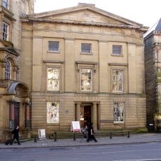
Literary and Philosophical Society of Newcastle upon Tyne
United Kingdom

Literary and Philosophical Society of Newcastle upon Tyne

250 ft
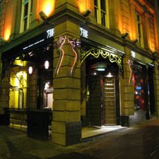
Tup Tup Palace
United Kingdom

Tup Tup Palace

0.1 mi
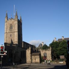
St John the Baptist Church, Newcastle upon Tyne
United Kingdom

St John the Baptist Church, Newcastle upon Tyne

420 ft
Milecastle 4
United Kingdom

Milecastle 4

0.1 mi
Waters Tomb About 2 Metres South Of Church Of St John The Baptist
United Kingdom

Waters Tomb About 2 Metres South Of Church Of St John The Baptist

370 ft
George Stephenson Memorial
United Kingdom

George Stephenson Memorial

230 ft
Hodgson Tomb About 15 Metres East Of Church Of St John The Baptist
United Kingdom

Hodgson Tomb About 15 Metres East Of Church Of St John The Baptist

420 ft
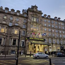
Royal Station Hotel
United Kingdom

Royal Station Hotel

90 ft
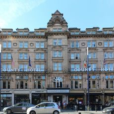
The County Hotel
United Kingdom

The County Hotel

420 ft
Bolbec Hall
United Kingdom

Bolbec Hall

310 ft
Irving House
United Kingdom

Irving House

350 ft
Northern Assurance Buildings
United Kingdom

Northern Assurance Buildings

0.1 mi
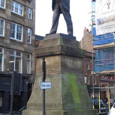
Statue of Joseph Cowen at Junction with Fenkle Street
United Kingdom

Statue of Joseph Cowen at Junction with Fenkle Street

0.1 mi
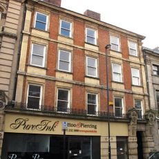
55 And 57, Westgate Road
United Kingdom

55 And 57, Westgate Road

0.1 mi
Barclay's Bank And Collingwood Buildings
United Kingdom

Barclay's Bank And Collingwood Buildings

450 ft
Newcastle upon Tyne town defences: section of curtain wall and town ditch between Forth Street and Hanover Street
United Kingdom

Newcastle upon Tyne town defences: section of curtain wall and town ditch between Forth Street and Hanover Street

0.1 mi
Clavering House
United Kingdom

Clavering House

0.1 mi
Union Club
United Kingdom

Union Club

340 ft
Sun Insurance Buildings
United Kingdom

Sun Insurance Buildings

390 ft
52, Westgate Road
United Kingdom

52, Westgate Road

0.1 mi
Neville Hall And Wood Memorial Hall
United Kingdom

Neville Hall And Wood Memorial Hall

210 ft
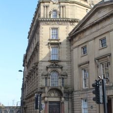
General Post Office And Area Balustrade
United Kingdom

General Post Office And Area Balustrade

0.1 mi
7, Collingwood Street
United Kingdom

7, Collingwood Street

0.1 mi
Former Hertz Rent A Car Building
United Kingdom

Former Hertz Rent A Car Building

0.1 mi
5, Collingwood Street
United Kingdom

5, Collingwood Street

0.1 mi
Gate Pier Of The Old Grammar School
United Kingdom

Gate Pier Of The Old Grammar School

270 ft
53, Westgate Road
United Kingdom

53, Westgate Road

490 ft
Lloyds Bank
United Kingdom

Lloyds Bank

0.1 mi
Show the full map
Reviews
Share your experience

No review yet

Discussions
Start a discussion...

No discussion yet

« Westgate House, Newcastle upon Tyne - Brutalist office block in Newcastle upon Tyne, England » is provided by Around Us (aroundus.com). Images and texts are derived from Wikimedia project under a Creative Commons license. You are allowed to copy, distribute, and modify copies of this page, under the conditions set by the license, as long as this note is clearly visible.

Discover hidden gems everywhere you go!

From secret cafés to breathtaking viewpoints, skip the crowded tourist spots and find places that match your style. Our app makes it easy with voice search, smart filtering, route optimization, and insider tips from travelers worldwide. Download now for the complete mobile experience.
Around Us App Screenshot

A unique approach to discovering new places

Le Figaro

All the places worth exploring

France Info

A tailor-made excursion in just a few clicks

20 Minutes

Around Us
Travel Guide & Maps
Download

Send to your phone

QR Code
1

Open the camera app on your mobile.

2

Point at the QR code with your camera. A notification will appear.

3

Tap the notification to open the link.