
Weston, village and civil parish in Cheshire East, England
Location: Cheshire East
Shares border with: Barthomley, Crewe Green, Crewe, Basford, Chorlton
GPS coordinates: 53.06630,-2.40438
Latest update: March 19, 2025 03:35
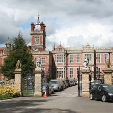
Crewe Hall
1.9 km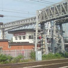
Crewe North Junction signal box
3.6 km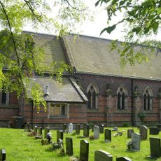
St Michael and All Angels Church, Crewe Green
3.2 km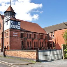
Union Street Baptist Church, Crewe
3.7 km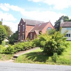
Englesea Brook Chapel and Museum
2.3 km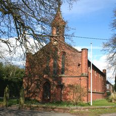
All Saints' Church, Weston, Cheshire
277 m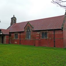
All Saints Church, Balterley
3.6 km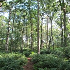
Black Firs and Cranberry Bog
2.7 km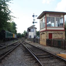
Crewe Heritage Centre
3.7 km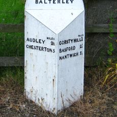
Mile Post 20 Metres South West Of All Saints Church
3.6 km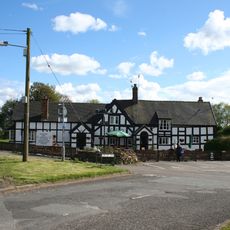
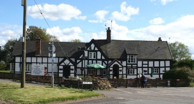
White Lion Inn
306 m
Monument To The Venerable Hugh Bourne In Primitive Methodist Graveyard
2.3 km
1867 buildings at Crewe Railway Station
3.2 km
Stowford and Magnolia Cottages
1.2 km
Signpost
516 m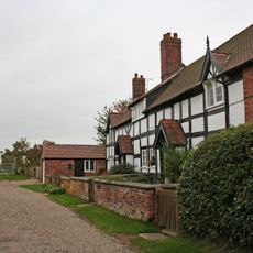
Barn Cottage and Elder Cottage
446 m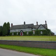
Old Hall Farmhouse
3.3 km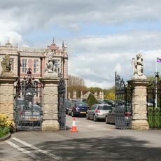
Gates, piers and wall at North end of Crewe Hall Drive
1.8 km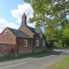
The Smithy
3.3 km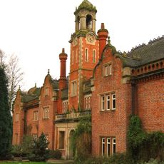
Former Stables at Crewe Hall
1.8 km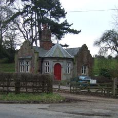
North Lodge to Crewe Hall Park
2.8 km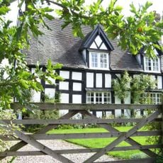
Mill Farmhouse
3.6 km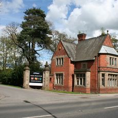
Golden Gates Lodge and entrance screen
1.2 km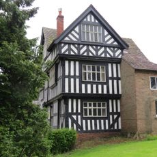
Lea Hall
3.6 km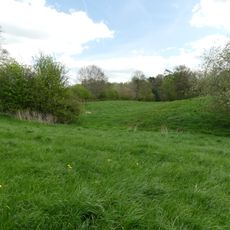
Hall Bank moated site, Wybunbury
3.6 km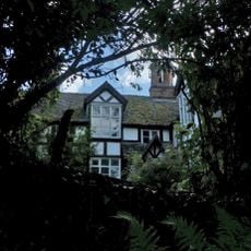
Church Bank
3.7 km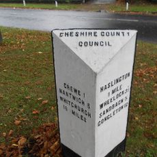
Milestone At Corner Of Narrow Lane
3.2 km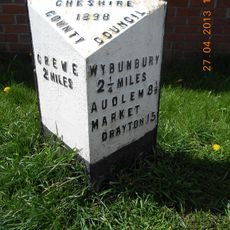
Milepost, High Street, nr Shavington village school
2.7 kmReviews
Visited this place? Tap the stars to rate it and share your experience / photos with the community! Try now! You can cancel it anytime.
Discover hidden gems everywhere you go!
From secret cafés to breathtaking viewpoints, skip the crowded tourist spots and find places that match your style. Our app makes it easy with voice search, smart filtering, route optimization, and insider tips from travelers worldwide. Download now for the complete mobile experience.

A unique approach to discovering new places❞
— Le Figaro
All the places worth exploring❞
— France Info
A tailor-made excursion in just a few clicks❞
— 20 Minutes