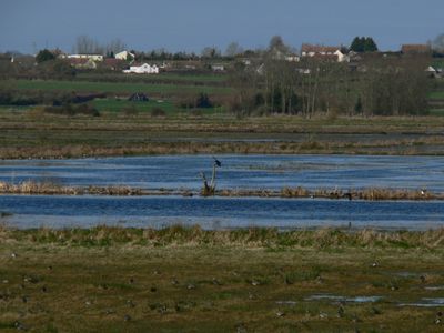
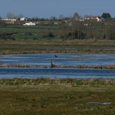
West Sedgemoor, Protected wetland area in Somerset, England.
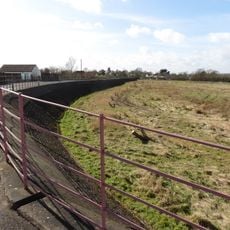
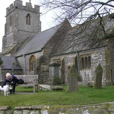
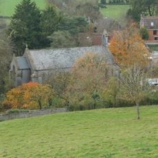
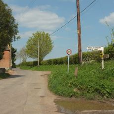
West Sedgemoor is a protected wetland in Somerset covering more than 1,000 hectares of reed beds, open grassland, and riverbanks. The area supports many plant and animal species and is crossed by pathways that give visitors access to different parts of the site.
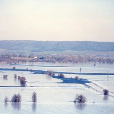
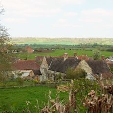
The Somerset Levels transformed from marshland into farmland over centuries as people built and expanded water management systems. This area was protected as a nature site to preserve its unique habitats after intensive farming had altered the landscape significantly.
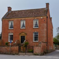
Local farming families have shaped this landscape for generations, and today they work alongside conservation groups to maintain the wetland character. Their work reflects how people here balance productive land use with protecting the natural environment.
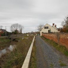
Visitors can walk on marked paths throughout the site to watch birds and observe plants, especially during migration seasons. The paths are accessible, but weather in the Levels can change quickly, so bringing proper clothing and sturdy footwear is wise.
The area works like a giant natural water storage system, preventing floods across the surrounding region during heavy rainfall. This flood management role exists by nature rather than by design, making it a crucial environmental feature few realize.
The community of curious travelers
AroundUs brings together thousands of curated places, local tips, and hidden gems, enriched daily by 60,000 contributors worldwide.