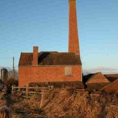
Balt Moor Wall, Medieval defensive wall in Lyng, England
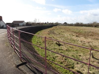
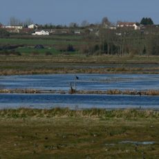
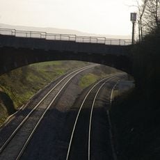
The Balt Moor Wall is a medieval defensive embankment located near Lyng in Somerset that stretches across the landscape. The structure varies between 6 and 10 meters wide and rises to heights of up to 2 meters in places.
The wall was built in the early 12th century and first appears in a charter signed by King Stephen between 1135 and 1154. In 1880 the Somerset Drainage Commission ordered the embankment to be encased in masonry to reinforce its structure.
Archaeological investigations in 1996 revealed medieval pottery fragments, providing insights into the historical activities around the structure.
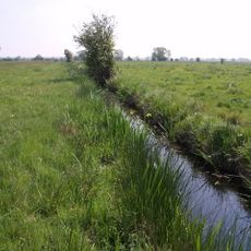
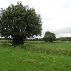
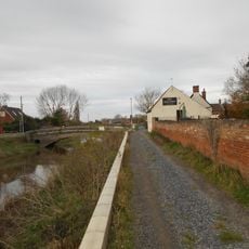
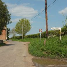
The wall can be explored on foot as part of a walk through the surrounding Somerset countryside without difficulty. Visitors should expect open ground that can become muddy in wet weather and should dress accordingly for changing conditions.
Archaeological investigations in 1996 uncovered medieval pottery fragments that reveal human activity at the site in earlier times. These finds suggest the wall was used and maintained by people over an extended period.
Location: Lyng
GPS coordinates: 51.05740,-2.94588
Latest update: December 14, 2025 14:44
Church of St Gregory, Stoke St Gregory
2.2 km
Church of St Bartholomew, Lyng
595 m
Burrow Mump
2.6 km
Maunsel House
3.5 km
Westonzoyland Pumping Station Museum
3.7 km
Willows and Wetlands Visitor Centre
1.7 km
North Moor
1.9 km
Southlake Moor
3.3 km
Church of St Peter & St Paul, North Curry
4 km
Curry and Hay Moors
2.3 km
West Sedgemoor
4 km
Church of St Peter, North Newton
4.2 km
Langmead and Weston Level
4.2 km
Church of St Peter and St John
3 km
Church of St Michael
2.4 km
Church of St Michael
3.7 km
King Alfred's Monument With Railings
813 m
King Alfred Public House
2.4 km
Higher Maunsell Bridge At St 308294 Higher Maunsell Lock No 4 At St 308294
3 km
Rose And Crown Hotel
524 m
Lower Maunsell Bridge At St 308298 Lower Maunsell Lock No 3 At St 308298 Maunsell Lock
3.1 km
Railway Bridge Over Main Line Railway Taunton To Bristol
3.3 km
Burrow Bridge At Ngr St 3075 3043
2.4 km
Coxhill Bridge At St 304306
3.7 km
Remains of Church on Burrow Mump
2.5 km
North Curry War Memorial
4.2 km
Manor Farmhouse
2.4 km
Stathe Farmhouse
3.7 kmVisited this place? Tap the stars to rate it and share your experience / photos with the community! Try now! You can cancel it anytime.
Discover hidden gems everywhere you go!
From secret cafés to breathtaking viewpoints, skip the crowded tourist spots and find places that match your style. Our app makes it easy with voice search, smart filtering, route optimization, and insider tips from travelers worldwide. Download now for the complete mobile experience.
A unique approach to discovering new places❞
— Le Figaro
All the places worth exploring❞
— France Info
A tailor-made excursion in just a few clicks❞
— 20 Minutes