Wendover Woods, Woodland in Chiltern Hills, England
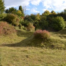
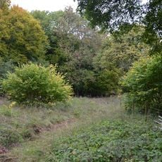
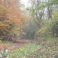
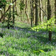
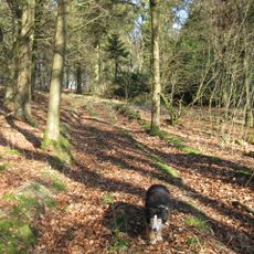
Wendover Woods is a woodland of mixed coniferous and broad-leaved trees on the northern slopes of the Chiltern Hills, near Wendover in England. The site has a network of marked trails spread across the terrain, along with a cafe and parking areas for visitors.
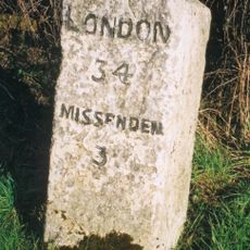
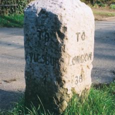
During medieval times, these woods were actively managed to supply nearby communities with timber and fuel. In the 20th century, the Forestry Commission took over the land and began planting trees in a more organized way, which shaped much of the woodland as it looks today.
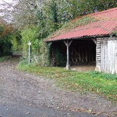
The woods are used today by families, runners, and walkers who explore the marked trails at their own pace. Outdoor fitness stations and rest spots along the paths show how this place has become part of everyday life for people living nearby.
The trails range from flat walking routes to steeper climbs, so the site works well for both gentle strolls and more demanding walks. Many paths are unpaved and the ground can be uneven, so sturdy footwear is a good idea before heading out.
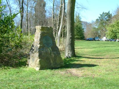
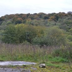
Haddington Hill, the highest point of the Chiltern Hills, sits right in the middle of this woodland and is marked by a stone monument. Many visitors walk past it without realizing they have just reached the top of the entire range.
The community of curious travelers
AroundUs brings together thousands of curated places, local tips, and hidden gems, enriched daily by 60,000 contributors worldwide.