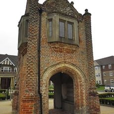
Woolmer Forest, Royal forest and Site of Special Scientific Interest in Hampshire and West Sussex, United Kingdom
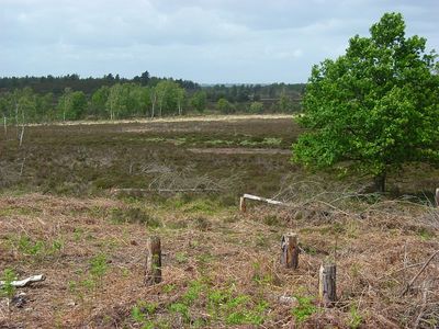
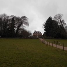
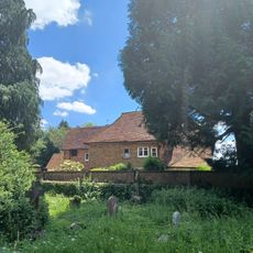
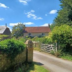
Woolmer Forest is a royal forest and protected natural area spanning around 1300 hectares in Hampshire and West Sussex, with open heathland on sandy soils and varied habitats. The landscape includes both dry and wetter zones that support different combinations of plants and wildlife.
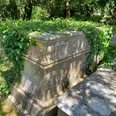
The landscape was shaped by human activity starting in the Bronze Age, when forests were cleared and heathland developed. Roman occupation brought roads through the area and left traces including a large coin deposit from that period.
The land is managed to keep the open heathland from becoming overgrown with trees, allowing visitors to explore on marked paths. This balance shows how local practices aim to maintain both the landscape and public connection to the site.
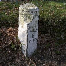
The area welcomes visitors on designated paths and marked routes throughout the site. Those planning special activities or wanting to explore beyond the main trails should check ahead on any restrictions or permissions required.
This is the only place in England where all twelve native reptile and amphibian species live together in one location. This gathering of rare species makes it particularly special for wildlife watchers and researchers.
GPS coordinates: 51.08340,-0.85702
Latest update: December 12, 2025 17:43
Headley Grange
4.2 km
Bordon and Longmoor Military Camps
1.4 km
Hogmoor Inclosure
3.1 km
St Matthew's Church
2.5 km
Blackmoor War Memorial
2.6 km
Old Church of St John
3.3 km
War Memorial 120 Metres South West of Church
4 km
Church of St John the Baptist
3.3 km
Bramshott War Memorial
4.1 km
Church of St Mary
4.2 km
Royal Anchor Hotel
3.8 km
The Green Dragon Public House
3.9 km
Rake War Memorial
4.3 km
Table Tomb 1 Metre South Of Chancel
4.2 km
Tudor Gatehouse At Bramshott Place (king George's Hospital)
4.3 km
Table Tomb 4 Metres East Of Chancel
4.2 km
Table Tomb 11 Metres North Of Nave
4.1 km
Table Tomb 7 Metres South Of Chancel
4.2 km
K6 Telephone Kiosk To North Of The Holly Bush Public House
4.5 km
Bramshott Vale
3.6 km
Bramshott Manor
4.1 km
Bramshott Churchyard
4.2 km
Table Tomb 4 Metres East Of Chancel
4.2 km
Churchyard Boundary Wall With Lychgate And Service Building
2.5 km
Covers Farmhouse
4 km
Milestone On West Side Of The B2070 London Road, Immediately South Of Entrance To Bohunt Manor
4 km
Milestone, Newtown, by entrance to Bohurst Manor
4 km
Milestone, Coldharbour Park Farm
4.3 kmVisited this place? Tap the stars to rate it and share your experience / photos with the community! Try now! You can cancel it anytime.
Discover hidden gems everywhere you go!
From secret cafés to breathtaking viewpoints, skip the crowded tourist spots and find places that match your style. Our app makes it easy with voice search, smart filtering, route optimization, and insider tips from travelers worldwide. Download now for the complete mobile experience.
A unique approach to discovering new places❞
— Le Figaro
All the places worth exploring❞
— France Info
A tailor-made excursion in just a few clicks❞
— 20 Minutes