
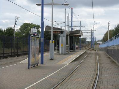
Winson Green Outer Circle tram stop, West Midlands Metro tram stop
Location: Winson Green
Official opening: May 31, 1999
GPS coordinates: 52.49900,-1.93797
Latest update: March 25, 2025 03:41
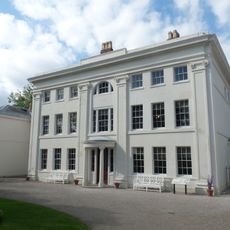
Soho House
1 km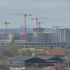
Midland Metropolitan Hospital
1.2 km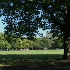
Black Patch Park
465 m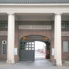
Soho Foundry
676 m
Handsworth Park
1.4 km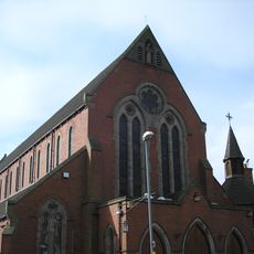
St Francis of Assisi Church, Handsworth
1.5 km
Birmingham Union workhouse
1.3 km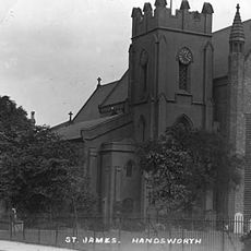
St James' Church
988 m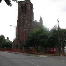
Bishop Latimer Memorial Church, Winson Green
262 m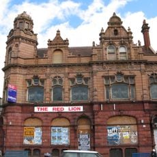
Red Lion
579 m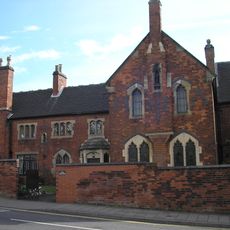
St Mary's Convent, Handsworth
1.6 km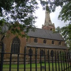
St Michael's Church, Handsworth
943 m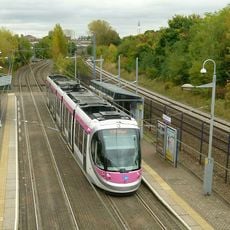
Soho Benson Road tram stop
529 m
Icknield Street School
1.6 km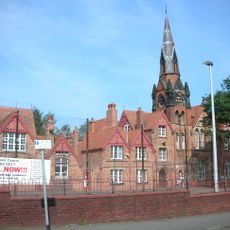
Birmingham board schools
1.3 km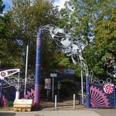
James Watt's Mad Machine
5 m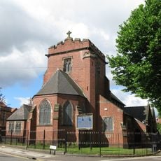
St Peter's Church, Handsworth
858 m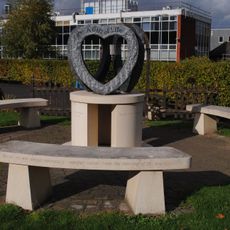
Organ Donation Memorial
1.2 km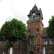
Handsworth Library
649 m
Summerfield Centre
1.3 km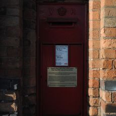
Post box B66 52
1.4 km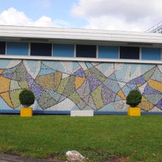
Mosaic
1.4 km
War Memorial at Mitchell and Butlers Brewery
1.6 km
Footbridge At Junction With Birmingham Canal, Smethwick Junction (Approximately 190 Metres East Of Bridge Street) Birmingham Level Wolverhampton Level
1.4 km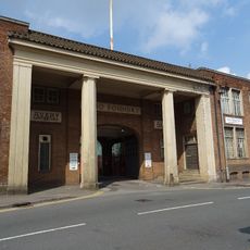
Gatehouse And Adjoining Office Buildings At Soho Foundry
681 m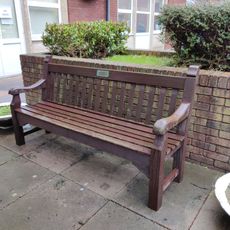
Summerfield Hospital WVS bench
1.1 km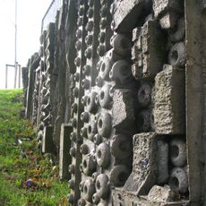
Brutalist Climbing Wall
1.6 km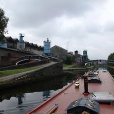
Footbridge At Junction With Wolverhampton Level (Approximately 230 Metres East Of Bridge Street) Birmingham Canal Birmingham Level
1.4 kmReviews
Visited this place? Tap the stars to rate it and share your experience / photos with the community! Try now! You can cancel it anytime.
Discover hidden gems everywhere you go!
From secret cafés to breathtaking viewpoints, skip the crowded tourist spots and find places that match your style. Our app makes it easy with voice search, smart filtering, route optimization, and insider tips from travelers worldwide. Download now for the complete mobile experience.

A unique approach to discovering new places❞
— Le Figaro
All the places worth exploring❞
— France Info
A tailor-made excursion in just a few clicks❞
— 20 Minutes