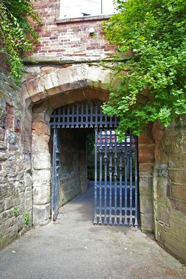
Worcester city walls, Medieval defensive wall in Worcester, England
Worcester's city walls were stone fortifications with three main gates that enclosed a medieval settlement of around 85 acres. Archaeological remains of this structure still line City Walls Road on the southeastern side of the original perimeter.
Following attacks during the 1140s Anarchy, Worcester received enhanced stone fortifications that were completed in the early 1200s. These improved defenses replaced earlier structures and made the city significantly harder to breach.
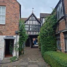
Street names like Foregate Street and City Walls Road mark where the fortifications once stood in today's city center. Walking these routes, you can sense how the medieval boundaries still shape the way the town is laid out.
The remains are mostly visible as archaeological traces rather than intact structures, so a guide or local information helps make sense of what you are seeing. Walking the southeastern route along named streets gives you the clearest sense of where the fortifications once stood.
During the English Civil War, the walls were reinforced with earthwork bastions, yet even these additions failed to protect the city from Cromwell's forces in 1651. This episode reveals how medieval fortifications rapidly became obsolete against the military technology of that era.
The community of curious travelers
AroundUs brings together thousands of curated places, local tips, and hidden gems, enriched daily by 60,000 contributors worldwide.