Enable Location

We need your location to show you interesting places around you

Discover nearby places

Find interesting locations and hidden gems around you

Precise directions

Get accurate directions and distances to places

Your location is never shared with other users. It's only used when you tap the location button.

Jurassic Way

Log in to your account

Start exploring — it's free

Trusted by 62,884 travelers worldwide

Continue with Google
Continue with Apple
or

We will send you a code to connect

By continuing, you accept our Terms and Conditions and our Privacy Policy

Check your inbox

We've sent a pincode in your inbox. Please enter the code below.

Jurassic Way
Discussion Reviews 1 Photos
4.7k Popularity

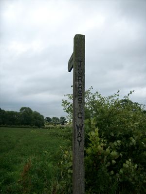
Jurassic Way, long-distance footpath in England

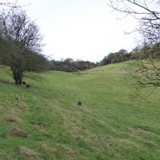
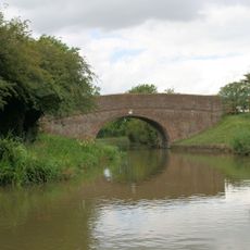
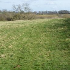
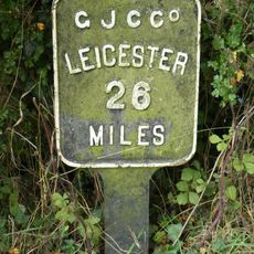
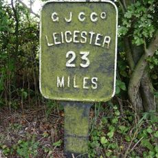
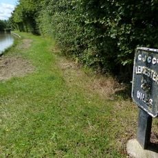
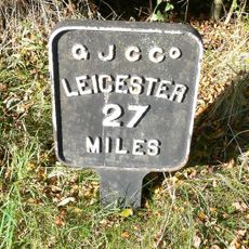
The Jurassic Way is a long-distance footpath of roughly 88 miles that extends from Banbury in Oxfordshire to Stamford in Lincolnshire, running mainly through Northamptonshire. The route follows an ancient limestone ridge across open countryside with fields, woodlands and small villages, crossing the canal network and the River Welland at several points.

The route likely follows a prehistoric trade pathway that connected the Humber Estuary to southern regions, using the elevation of the limestone ridge for easier passage. Later, industrial infrastructure such as the Great Central Railway and viaducts were built along this corridor, marking the area's shift into the railway age.

The Jurassic Way takes its name from the ancient limestone formations that shape the landscape and represent millions of years of geological history. Walkers follow what may be a prehistoric pathway, experiencing rural England as it has existed across generations.

The trail is well marked with waymarkers and ammonite symbols that are straightforward to follow. Suitable footwear for uneven ground is recommended, and walkers should prepare for changing weather as the route crosses open land.

The 82-arch Harringworth Viaduct appears as an unexpected sight, an impressive brick structure from the railway era visible from the walking path. Additionally, a section of the route has been closed since 2022 due to HS2 construction, requiring walkers to take a local detour.

The community of curious travelers

AroundUs brings together thousands of curated places, local tips, and hidden gems, enriched daily by 60,000 contributors worldwide.

Start exploring
Location
GPS coordinates
52.42400,-1.04300
Latest update
February 7, 2026 11:00
Around this place
Show the full map
« Jurassic Way - long-distance footpath in England » is provided by Around Us (aroundus.com). Images and texts are derived from Wikimedia project under a Creative Commons license. You are allowed to copy, distribute, and modify copies of this page, under the conditions set by the license, as long as this note is clearly visible.

Discover hidden gems everywhere you go!

From secret cafés to breathtaking viewpoints, skip the crowded tourist spots and find places that match your style. Our app makes it easy with voice search, smart filtering, route optimization, and insider tips from travelers worldwide. Download now for the complete mobile experience.

Around Us App Screenshot

A unique approach to discovering new places

Le Figaro

All the places worth exploring

France Info

A tailor-made excursion in just a few clicks

20 Minutes

Around Us
Travel Guide & Maps
Download

Send to your phone

QR Code
1

Open the camera app on your mobile.

2

Point at the QR code with your camera. A notification will appear.

3

Tap the notification to open the link.