
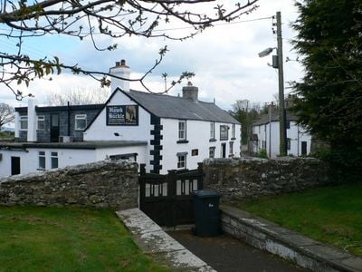
Llannefydd, village in the United Kingdom
Location: Conwy County Borough
GPS coordinates: 53.22300,-3.52700
Latest update: April 26, 2025 13:11
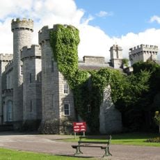
Bodelwyddan Castle
4.6 km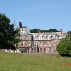
Kinmel Hall
4.3 km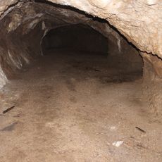
Bontnewydd Palaeolithic site
3.4 km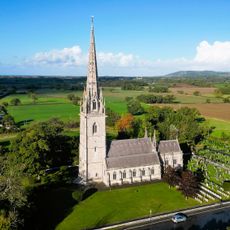
Marble Church
5.3 km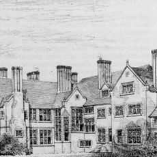
Wigfair Hall
4.7 km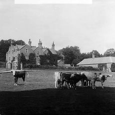
Eriviat Hall
5.6 km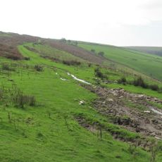
Mynydd y Gaer
1.4 km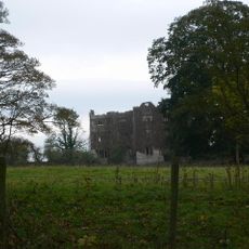
Foxhall Newydd
5.7 km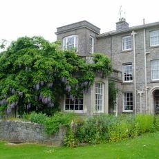
Galltfaenan Hall
4.6 km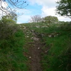
Bedd-y-Cawr Hillfort
3.5 km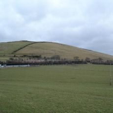
Moelfre Isaf
4 km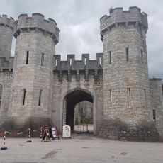
Bodelwyddan Castle and Park
4.6 km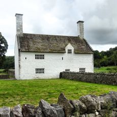
Dolbelidr
4.9 km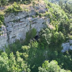
Coedydd ac Ogofâu Elwy a Meirchion
4.2 km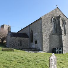
St Sadwrn's Church
4.8 km
Parc-y-Meirch quarry
4.9 km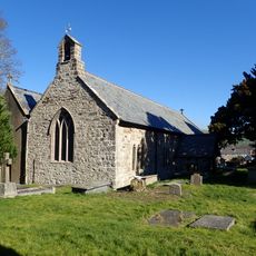
St Mary's Church
5.5 km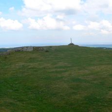
Mynydd-y-Gaer
1.4 km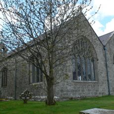
Church of St Nefydd and St Mary
70 m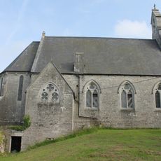
Church of St Mary
3.8 km
Plas-yn-Cefn
3.9 km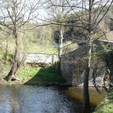
Pont Meredydd
2.4 km
Dyffryn Aled
5 km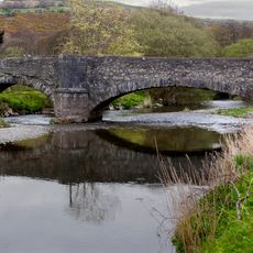
Llanfair Bridge
5.4 km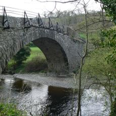
Pont y Ddol
2 km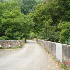
Bont Newydd
3.1 km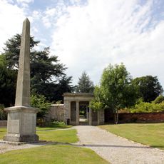
Obelisk in Bodelwyddan Castle Garden
4.3 km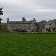
Foxhall
6.1 kmVisited this place? Tap the stars to rate it and share your experience / photos with the community! Try now! You can cancel it anytime.
Discover hidden gems everywhere you go!
From secret cafés to breathtaking viewpoints, skip the crowded tourist spots and find places that match your style. Our app makes it easy with voice search, smart filtering, route optimization, and insider tips from travelers worldwide. Download now for the complete mobile experience.

A unique approach to discovering new places❞
— Le Figaro
All the places worth exploring❞
— France Info
A tailor-made excursion in just a few clicks❞
— 20 Minutes