
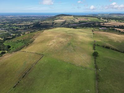
Moel Maenefa, hill (289m) in Denbighshire
Location: Denbighshire
Elevation above the sea: 289 m
GPS coordinates: 53.25887,-3.36994
Latest update: March 7, 2025 18:13

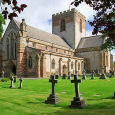
St Asaph Cathedral
4.8 km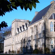
St Beuno’s Ignatian Spirituality Centre
743 m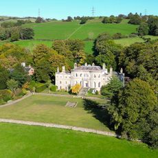
Brynbella
2 km
Llannerch Hall
3.9 km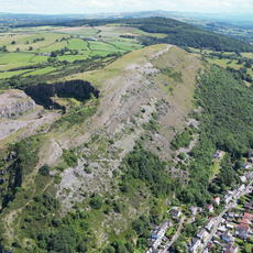
Moel Hiraddug
4.5 km
Ffynnon Beuno and Cae Gwyn Caves
2 km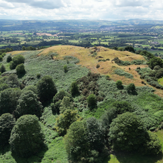
Moel y Gaer, Bodfari
3.7 km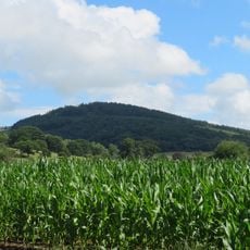
Mynydd y Cwm
2.7 km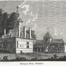
Bachegraig
3.4 km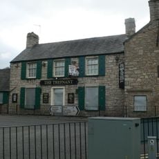
The Trefnant Inn
5.2 km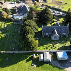
Church of Corpus Christi (Holy Trinity)
1.4 km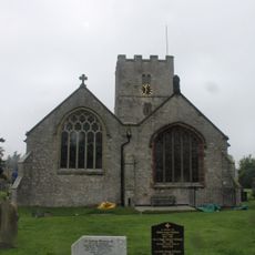
Church Of St Michael
4.3 km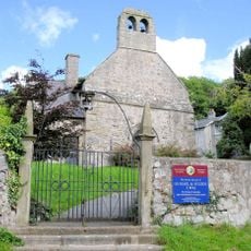
Church of Saints Mael and Sulien
3.7 km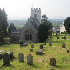
Church of St Stephen
4.3 km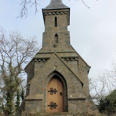
The Rock Chapel
863 m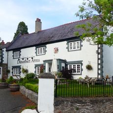
Dinorben Arms Public House
4.4 km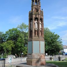
Translators' Memorial
4.8 km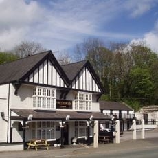
Pwllgwyn Hotel
4.8 km
Pont Dafydd
4.4 km
Waungoleugoed
2.8 km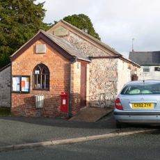
Old School (now Village Hall)
1.4 km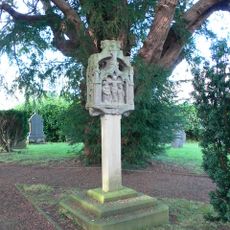
Tremeirchion Cross
720 m
Aberwheeler House
4.6 km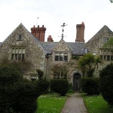
Henblas Hall
2.6 km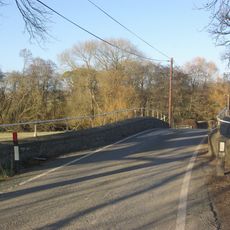
Pont Llannerch
3.7 km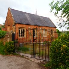
The Old School and Schoolhouse
4.4 km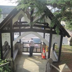
Lychgate and steps to St Stephen's Church
4.4 km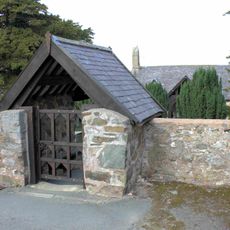
Lychgate of Tremeirchion Parish Church
1.4 kmReviews
Visited this place? Tap the stars to rate it and share your experience / photos with the community! Try now! You can cancel it anytime.
Discover hidden gems everywhere you go!
From secret cafés to breathtaking viewpoints, skip the crowded tourist spots and find places that match your style. Our app makes it easy with voice search, smart filtering, route optimization, and insider tips from travelers worldwide. Download now for the complete mobile experience.

A unique approach to discovering new places❞
— Le Figaro
All the places worth exploring❞
— France Info
A tailor-made excursion in just a few clicks❞
— 20 Minutes