
South Scarle, village and civil parish in Nottinghamshire, England
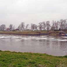
Cromwell Lock
4.8 km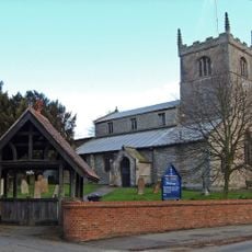
All Saints' Church, Collingham
2.7 km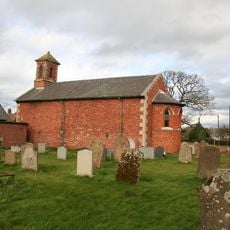
Holy Trinity Church, Besthorpe
2.3 km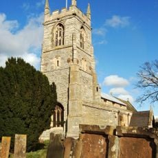
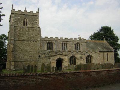
St John the Baptist's Church, Collingham
3.5 km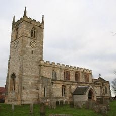
St Wilfrid's Church, Low Marnham
6.8 km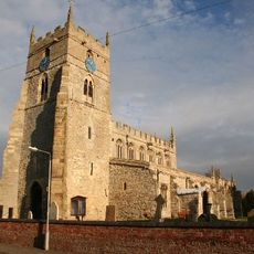
All Saints' Church, Sutton-on-Trent
5.1 km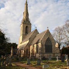
St Mary's Church, Carlton-on-Trent
4.9 km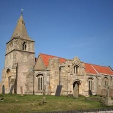
St Giles' Church, Holme
6.6 km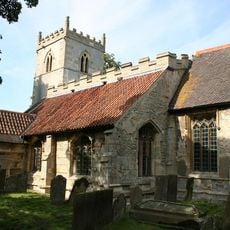
St Bartholomew's Church, Langford
5.6 km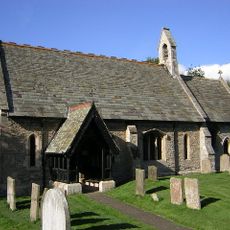
St Cecilia's Church, Girton
3.2 km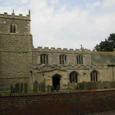
St Helena's Church, South Scarle
582 m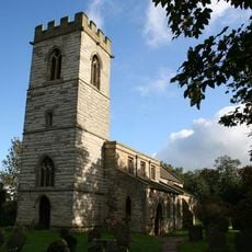
St. Giles' Church, Cromwell
5.4 km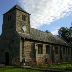
Church of St Michael and All Angels
6.2 km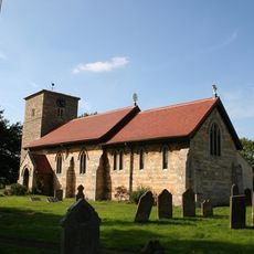
Church of All Saints
4.3 km
Church of All Saints
2.8 km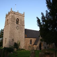
Church of All Saints
2.3 km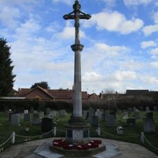
North Collingham War Memorial
2.7 km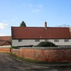
The Nunnery
3.5 km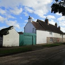
The Little House And Number 20
3.1 km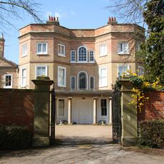
Carlton Hall
4.9 km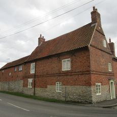
Corner Farmhouse
164 m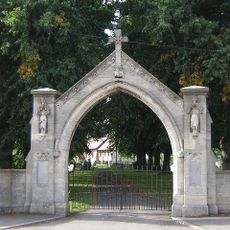
War Memorial Arch
4.3 km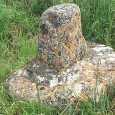
Standing cross 140m north of The Old Hall
6.7 km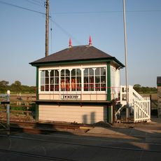
Swinderby Signal Box
2.1 km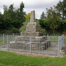
Standing cross on the west side of High Street
2.3 km
Langford medieval village, including moat and open field system, 450m north west of Elmtree Farm
5.9 km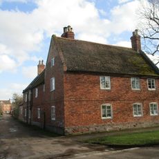
Lime Tree House
3.2 km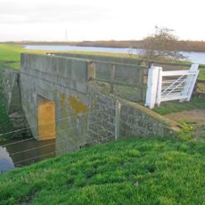
Trent Navigation, Footbridge Over Drain On West Bank Of River Trent At Sk 8150 6731
4.7 kmVisited this place? Tap the stars to rate it and share your experience / photos with the community! Try now! You can cancel it anytime.
Discover hidden gems everywhere you go!
From secret cafés to breathtaking viewpoints, skip the crowded tourist spots and find places that match your style. Our app makes it easy with voice search, smart filtering, route optimization, and insider tips from travelers worldwide. Download now for the complete mobile experience.

A unique approach to discovering new places❞
— Le Figaro
All the places worth exploring❞
— France Info
A tailor-made excursion in just a few clicks❞
— 20 Minutes