Farlington Marshes, Nature reserve in Portsmouth, Great Britain
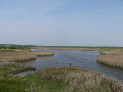
Farlington Marshes is a 125-hectare nature reserve of grazing meadows and saline lagoons on the northern shore of Langstone Harbour between Portsmouth and Havant. The landscape features open grassland, water pools, and paths that run along an elevated embankment.
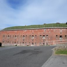
The land was created in 1771 through reclamation work from Langstone Harbour and included part of the former Binner's Island. During World War II, the area functioned as a military decoy site.
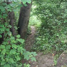
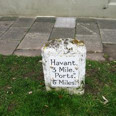
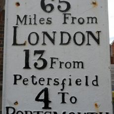
The reserve takes its name from the nearby Farlington settlement and serves as a valued destination for local bird watchers and walkers. The viewing areas along the paths reflect how residents use the space for outdoor recreation and connection with nature.
A 4-kilometer circular route along the embankment is straightforward and accessible for visitors of different abilities. Three parking areas are available, though some have height restrictions to be aware of.
Hundreds of dark-bellied brent geese and other migratory birds stop here during their travels, particularly in winter months. This seasonal arrival turns the marshes into a bustling spot for nature enthusiasts to observe wildlife.
Location: City of Portsmouth
GPS coordinates: 50.83459,-1.03099
Latest update: December 13, 2025 17:06
Hilsea Lines
2.3 km
The Elms
2.7 km
Church of St Philip
1.8 km
Christ Church
2.7 km
Church of St Andrew
1.5 km
The Towers
2.3 km
The Church of the Resurrection
2.1 km
Church of St Thomas
2.8 km
Cosham Park House
2.6 km
George Inn
2.6 km
Fort Purbrook
2.1 km
Cosham Library
2.9 km
Manor House Boundary Wall
2.9 km
Great Salterns House And Attached Walls
2.3 km
511, London Road
3 km
Green Farmhouse
2.5 km
East Cosham House
2.3 km
Milestone: Hilsea Market Approximately 200 Metres South Of Military Road
2.8 km
Former Barn To North Of Green Farmhouse
2.5 km
Milestone, East Of Junction With Rectory Avenue
1.6 km
Milestone 70.5 Metres East Of New Inn
1.8 km
Cosham House
2.5 km
Milestone Adjacent To The Red Lion Public House (Public House Not Included)
2.9 km
The Old Rectory
2.8 km
The Old Rectory
1.5 km
Town Boundary Stone At Junction Of London Road And Torrington Road
3.2 km
Bidbury House
2.8 km
Milestone, West Street, by "New Look",
2.7 kmVisited this place? Tap the stars to rate it and share your experience / photos with the community! Try now! You can cancel it anytime.
Discover hidden gems everywhere you go!
From secret cafés to breathtaking viewpoints, skip the crowded tourist spots and find places that match your style. Our app makes it easy with voice search, smart filtering, route optimization, and insider tips from travelers worldwide. Download now for the complete mobile experience.
A unique approach to discovering new places❞
— Le Figaro
All the places worth exploring❞
— France Info
A tailor-made excursion in just a few clicks❞
— 20 Minutes