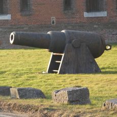
Hilsea Lines, Military fortification in Hilsea, Portsmouth, England.
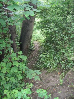
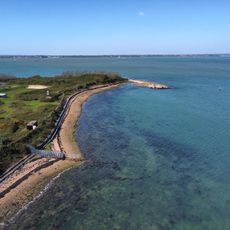
Hilsea Lines is an extensive fortification along the northern edge of Portsea Island, featuring massive ramparts, ditches, and defensive structures made of stone and earth. The complex stretches for several kilometers and displays the intricate geometry of military fortress design.
The fortification underwent major reconstruction between 1858 and 1871 following military lessons from the Crimean War and plans by Colonel Jervois. These modifications made it a modern defensive line to protect Portsmouth's strategic position.
The fortifications show Victorian military engineering and were part of Portsmouth's transformation into one of England's most heavily defended cities. Today visitors can see how these structures shape the urban landscape and function as a public green space.
Visitors can explore the accessible sections of the fortification, which received a Green Flag award in 2010 for its maintained public areas. The paths are generally flat and easy to walk, making them suitable for different mobility levels.
The fortification includes special bridges designed to accommodate both road and rail traffic while maintaining defensive capabilities against attacks from the north. This engineering solution shows how defenders balanced practical needs with military requirements.
The community of curious travelers
AroundUs brings together thousands of curated places, local tips, and hidden gems, enriched daily by 60,000 contributors worldwide.