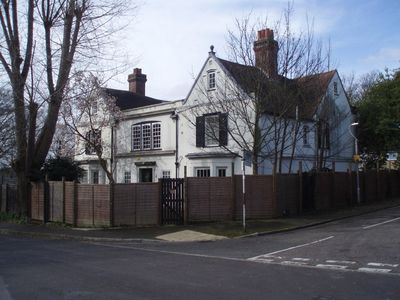
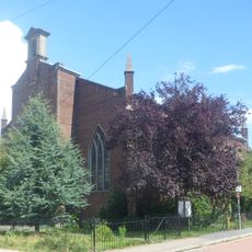
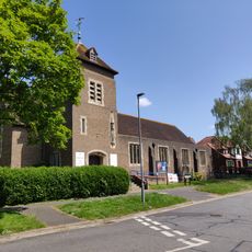
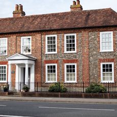
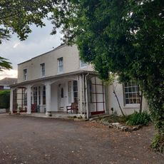
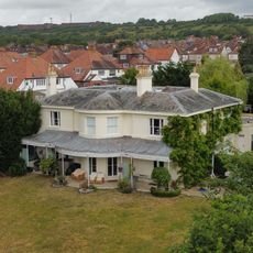
Wymering Manor, Grade II* listed manor in Wymering, Portsmouth, England.
Wymering Manor is a substantial stone and timber house that developed across multiple centuries with distinct architectural layers throughout its structure. Medieval cellars, Tudor-era rooms, and other spaces are preserved within this building located on Old Wymering Lane.
The manor was first recorded in 1042 under King Edward the Confessor's ownership, then passed to William the Conqueror following the Battle of Hastings in 1066. This royal connection shaped the property's importance for centuries.
The property served as a gathering place for the village community during the Victorian period, hosting celebrations and public events. Reverend George Nugee organized theatrical performances here that brought locals together.
The Wymering Manor Trust has maintained the building since acquiring it in 2013 and continues restoration work on an ongoing basis. Visitors should check conditions beforehand since access may be affected by which areas are currently undergoing repairs.
Roman-era materials and traces lie beneath the manor, indicating human settlement at this location long before the medieval period. These buried layers make the early history difficult to fully understand, as much remains hidden under the current structure.
The community of curious travelers
AroundUs brings together thousands of curated places, local tips, and hidden gems, enriched daily by 60,000 contributors worldwide.