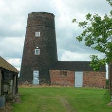
North Humberside, Historic maritime region in East England, United Kingdom
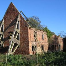
North Humberside is a region along the northern side of the Humber Estuary, encompassing both coastal and inland areas of East Riding of Yorkshire. It features harbors, small towns, and farmland that stretches inland from the shoreline.
The area became an administrative county in 1974, uniting several communities under one local government. In 1996, this arrangement ended and the territory split into separate unitary authorities.
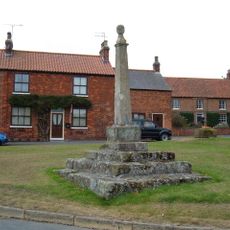
The area remains deeply connected to maritime traditions, with ports and fishing communities shaping daily life and local customs. This relationship with the sea is visible in how people work and spend time in the harbor areas.
The Humber Bridge connects the region to areas south of the estuary and serves as the main transport route for commerce and daily travel. A car is helpful for getting around, as settlements are spread across a wide area.
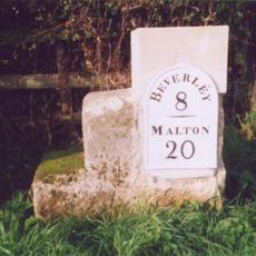
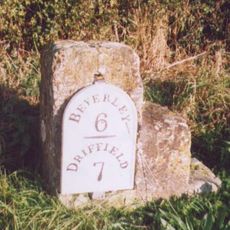
Many towns in the area allow flexible addressing, letting residents use either Yorkshire or East Riding of Yorkshire in their postal addresses. This quirk comes from the administrative history and remains visible in local mailboxes and documents.
The community of curious travelers
AroundUs brings together thousands of curated places, local tips, and hidden gems, enriched daily by 60,000 contributors worldwide.