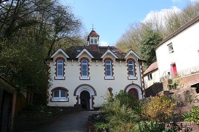
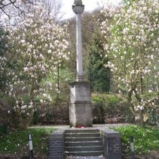
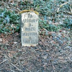
Holy Well, Malvern, Holy well and Grade II listed building in Malvern Wells, England.
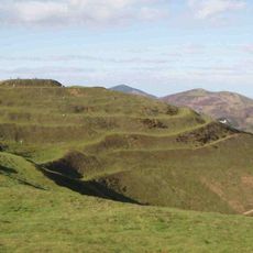
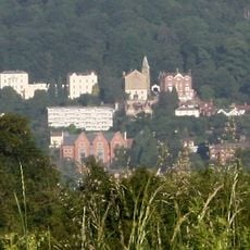
The Holy Well of Malvern is a Grade II listed structure featuring a basin fed by natural spring water and surrounded by decorative stonework. The construction sits at roughly 2,600 feet (790 meters) on the Malvern Hills.
This water source originates in medieval times, with the first documented ownership transfer recorded in 1558 to John Hornyold. From the 17th century onward, water was systematically collected and moved off-site, establishing it as an early commercial water operation.
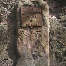
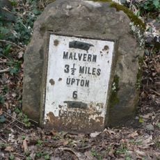
The site draws people who come to fill containers with spring water, continuing a tradition that has shaped how locals and visitors connect with this place. This everyday practice keeps a centuries-old relationship with the water alive and visible.
The site is open year-round and visitors can drink the spring water on-site or collect it to take away. Plan to bring a container and be prepared for the elevated location on the hillside.
The site is credited as the birthplace of commercial water bottling, with documented operations beginning in 1622. This makes it a surprisingly early example of industrial water processing in Europe.
Location: Malvern Wells
GPS coordinates: 52.07890,-2.33657
Latest update: December 10, 2025 20:06
British Camp
2.5 km
Little Malvern Priory
2 km
St Wulstan's Roman Catholic Church
1.4 km
Malvern Wells War Memorial
285 m
Emmanuel Evangelical Church
3.1 km
Church of St James
3.1 km
Little Malvern Court
2 km
The War Memorial Library At Malvern College
2.8 km
Park Farmhouse
3.2 km
War Memorial Statue at Malvern College
2.9 km
Milestone, north of The Abbey
670 m
Pillar Box At Junction Of Orchard Road And Priory Road
3.3 km
Colwall War Memorial
3.1 km
Main Building Of Malvern College
2.9 km
Herefordshire Beacon Camp
2.6 km
Milestone
2.6 km
Milestone
1.9 km
Churchyard Cross
3.1 km
Elgar's Grave, Approximately 20 Metres South Of Church Of St Wulstan
1.4 km
Shelter And Belvedere At Ngr 768436
1.3 km
Pillar Box At Junction Of The St Andrew's Road And Peachfield Road
2.2 km
Milestone, Mayalls Farm; 100 yds W of Yew Tree Farm
2.2 km
Milestone, Golf Club; by gate into 121 Wells Road
1 km
Cob Nash
717 m
Milestone, Hanley Road, 10m E of Shuttlefast Lane; opp. Cotton Cottage & Three Counties Showground
1.3 km
Milestone, by track to Merebrook Farm; 10m E of entrance to Hanley Workshops
2.9 km
Milestone, The College; Wells Road, Malvern Wells Common (N end)
2.6 km
Milestone, N of The Beacon
1.9 kmVisited this place? Tap the stars to rate it and share your experience / photos with the community! Try now! You can cancel it anytime.
Discover hidden gems everywhere you go!
From secret cafés to breathtaking viewpoints, skip the crowded tourist spots and find places that match your style. Our app makes it easy with voice search, smart filtering, route optimization, and insider tips from travelers worldwide. Download now for the complete mobile experience.
A unique approach to discovering new places❞
— Le Figaro
All the places worth exploring❞
— France Info
A tailor-made excursion in just a few clicks❞
— 20 Minutes