
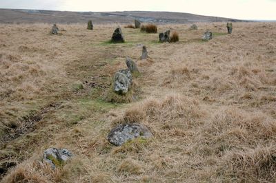
Ringmoor stone row and cairn circle, Bronze Age stone alignment in Dartmoor National Park, England.
The stone row stretches 356 meters across Ringmoor Down, featuring single and double sections with a cairn circle at its southern terminus.
During medieval times, numerous stones were removed from the original alignment and repurposed for agricultural boundaries and construction materials.
The stone row represents a significant example of prehistoric ceremonial structures, forming part of an extensive network of ancient monuments in the Upper Plym Valley.
Access to the site requires parking near Burrator Reservoir and following a walking path across moorland terrain, with navigation assistance from Ordnance Survey Explorer OL28.
The cairn circle at the southern end measures 12.6 meters in diameter, while a solitary standing stone marks the northern end of the alignment.
Location: Sheepstor
GPS coordinates: 50.47480,-4.02579
Latest update: March 6, 2025 07:46
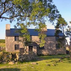
Ditsworthy Warren House
2.1 km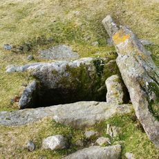
Drizzlecombe
2.9 km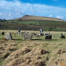
Yellowmead Down
2.3 km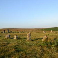
Brisworthy stone circle
416 m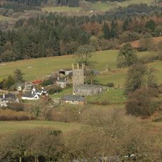
Church of St Leonard, Sheepstor
1.8 km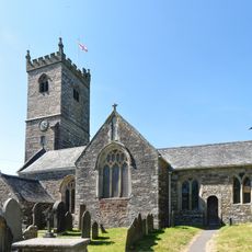
Church of St Peter
2.7 km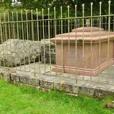
Brooke Monuments To The North Of Church Of St Leonard
1.9 km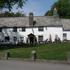
Royal Oak Inn
2.7 km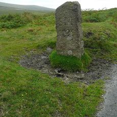
Boundary Stone Approximately 600 Metres North North West Of Blackaton Cross
2.2 km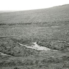
Prehistoric and historic archaeological landscape at Trowlesworthy Warren
1.2 km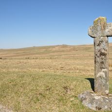
Blackaton Cross
2.8 km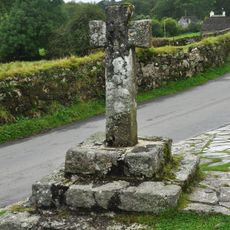
Roman's Cross
1.8 km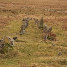
Double stone alignment with a terminal stone setting south of Great Trowlesworthy Tor
2.3 km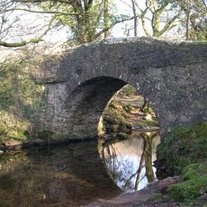
Higher Meavy Bridge
2.1 km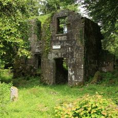
Longstone Manor House
2.7 km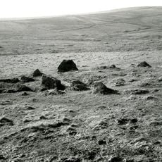
Multi-period remains at Hentor Warren
2.5 km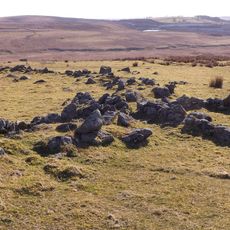
Partially enclosed stone hut circle settlement and post-medieval warren structures on the western slope of Little and Great Trow
1.9 km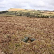
Cairn with cist north of Gutter Tor
1.8 km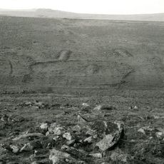
Prehistoric settlement, three round cairns and a post-medieval rabbit warren at Legis Tor
1 km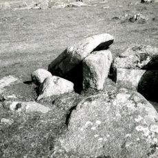
Cairn with a cist east of Willings Walls Reave
2 km
Village Cross
2.7 km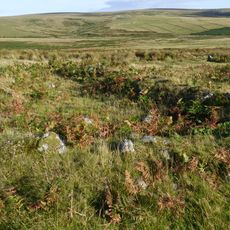
Agglomerated enclosure with hut circles and later farmstead at Whittenknowles Rocks
2.5 km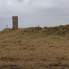
Bowl barrow at Emmets Post
2.7 km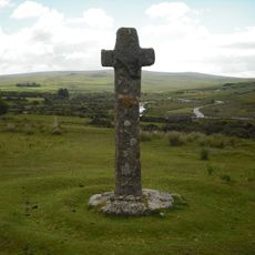
Cadover Cross
1.5 km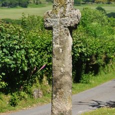
Marchant's Cross
2 km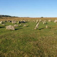
Yellowmead stone circles, cairn and stone alignment
2.3 km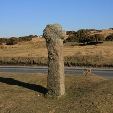
Cross S of Shaden Plantation
2.6 km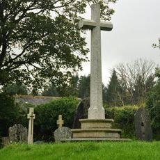
Maj J. Bayly Memorial Cross, Sheepstor
1.8 kmReviews
Visited this place? Tap the stars to rate it and share your experience / photos with the community! Try now! You can cancel it anytime.
Discover hidden gems everywhere you go!
From secret cafés to breathtaking viewpoints, skip the crowded tourist spots and find places that match your style. Our app makes it easy with voice search, smart filtering, route optimization, and insider tips from travelers worldwide. Download now for the complete mobile experience.

A unique approach to discovering new places❞
— Le Figaro
All the places worth exploring❞
— France Info
A tailor-made excursion in just a few clicks❞
— 20 Minutes