Drizzlecombe, Bronze Age archaeological site in Dartmoor, England.
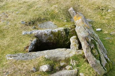
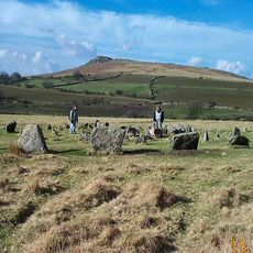
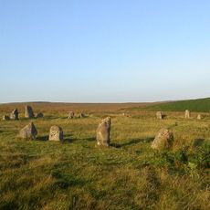
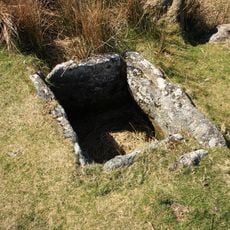
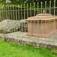
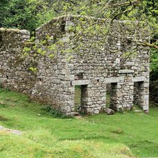
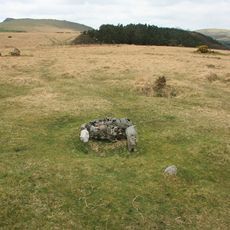
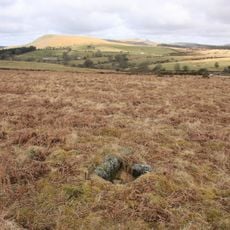
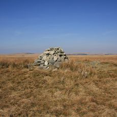
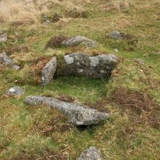
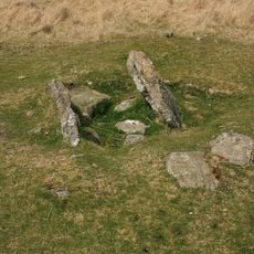
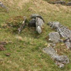
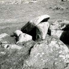
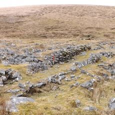
Drizzlecombe is a Bronze Age archaeological site on Dartmoor, in Devon, England, where three stone rows cross the open moorland and each ends at a tall standing stone or a burial mound. The site also contains the remains of ancient hut circles and several cists, which are small stone-lined burial chambers set into the ground.
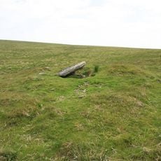
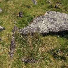
The site was built during the Bronze Age, around 3,000 to 4,000 years ago, as a place for burial and ritual activity. One of the standing stones, known as the Bone Stone, had fallen at some point and was raised back upright in the 1890s.
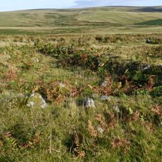
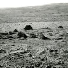
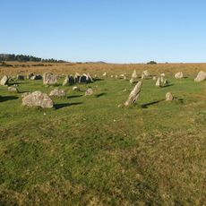
Drizzlecombe is one of the few places on Dartmoor where you can see several complete stone row systems, each ending with a tall standing stone. Walking along the rows, you notice how deliberately each stone was placed in relation to the burial mound at the end.
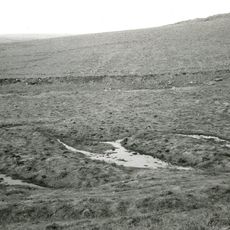
The site sits on open moorland that can turn wet and slippery quickly, so sturdy footwear and waterproof clothing are strongly advised. The stone rows and burial features are fairly close to each other, so seeing everything on a relaxed walk is easy to do.
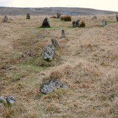
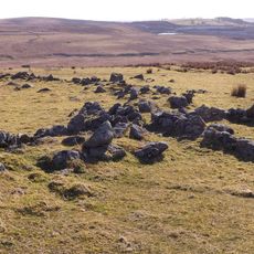
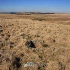
The southern stone row at the site starts as a single line, widens into a double row, and then narrows back to a single line again. This kind of variation in a stone row is rare and is not commonly seen at other Bronze Age sites in Britain.
The community of curious travelers
AroundUs brings together thousands of curated places, local tips, and hidden gems, enriched daily by 60,000 contributors worldwide.