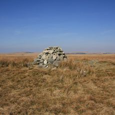
Eylesbarrow mine, Tin mine in Dartmoor Forest, England.
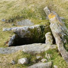
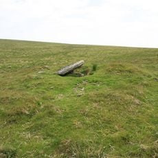
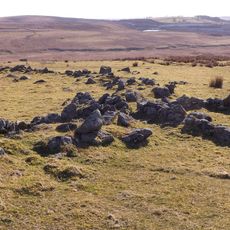
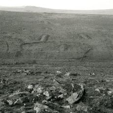
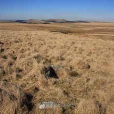
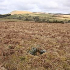
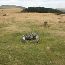
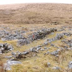
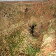
Eylesbarrow mine is a tin extraction site in Dartmoor Forest with multiple shaftheads visible as conical pits scattered across the ground. The largest opening measures roughly 16 meters (52 feet) in diameter and stands out clearly among the others.
The mine operated during the first half of the 19th century and reached peak activity around 1825. This period marked a time of intensive mining across the Dartmoor region.
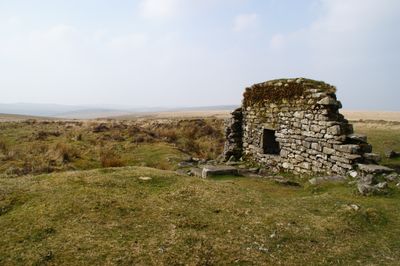
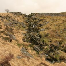
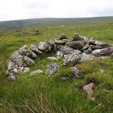
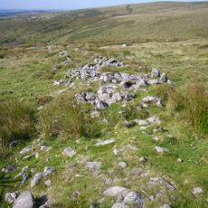
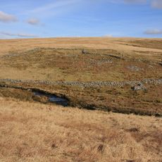
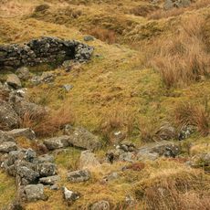
The remains of stamping mills and smelting houses show how miners organized their work across the landscape. The way water was channeled through the site reflects how people adapted to the terrain to power their operations.
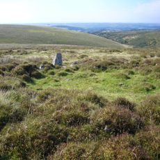
The site sits north of the River Plym and is reached via country paths that link to nearby villages. Wear sturdy shoes and bring weather-appropriate clothing, as the terrain is uneven and conditions can change quickly.
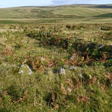
The ore deposits were shaped by geological processes that pushed vertical tin-bearing veins through the granite bedrock. These natural formations determined where and how miners could extract their material.
Location: Shaugh Prior
Location: Sheepstor
Location: Dartmoor Forest
GPS coordinates: 50.48000,-3.97000
Latest update: December 12, 2025 14:26
Ditsworthy Warren House
1.9 km
Drizzlecombe
1.4 km
Yellowmead Down
3.2 km
Duck's Pool, Dartmoor
2.5 km
Grim's Grave cairn with a cist, Langcombe
921 m
Yealm Steps
3 km
Double stone alignment with a terminal stone setting south of Great Trowlesworthy Tor
3.6 km
Platform cairn and cist 80m south east of Calveslake Tor
1.3 km
Cist 430m ESE of Yealm Steps
3.3 km
Partially enclosed stone hut circle settlement and post-medieval warren structures on the western slope of Little and Great Trow
3.4 km
Round cairn on the summit of Great Gnat's Head
2.1 km
Prehistoric settlement, three round cairns and a post-medieval rabbit warren at Legis Tor
3.1 km
Five stone hut circles 320m east of Yealm Steps forming part of a large stone hut circle settlement
3.1 km
Multi-period remains at Hentor Warren
1.5 km
Cairn with a cist south-east of Shavercombe Tor
851 m
Prehistoric stone hut circle settlement, a contemporary field system, post-medieval buildings and two lengths of leat 310m south
3.3 km
Cairn with cist north of Gutter Tor
2.8 km
Cairn with a cist east of Willings Walls Reave
2.3 km
One of several cairns with cists south of Langcombe Brook
921 m
Cist south east of Roughtor Plantation
3 km
Hut circles in Erme Pound E of River Erme
3.5 km
Agglomerated enclosure with hut circles and later farmstead at Whittenknowles Rocks
1.9 km
Cairn with a cist north of Whittenknowles Rocks
2.2 km
Yellowmead stone circles, cairn and stone alignment
3.2 km
Foxton Cross
3.3 km
A prehistoric settlement with cairns and a historic tin mill, streamwork and buildings lying adjacent to the Langcombe Brook
680 m
Blowing house N of Yealm Steps
2.8 km
Two Brothers Adit
2.2 kmVisited this place? Tap the stars to rate it and share your experience / photos with the community! Try now! You can cancel it anytime.
Discover hidden gems everywhere you go!
From secret cafés to breathtaking viewpoints, skip the crowded tourist spots and find places that match your style. Our app makes it easy with voice search, smart filtering, route optimization, and insider tips from travelers worldwide. Download now for the complete mobile experience.
A unique approach to discovering new places❞
— Le Figaro
All the places worth exploring❞
— France Info
A tailor-made excursion in just a few clicks❞
— 20 Minutes