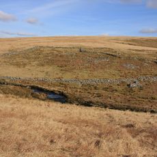
Duck's Pool, Dartmoor, Natural depression in southern Dartmoor, England
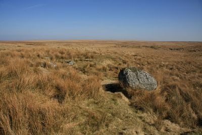
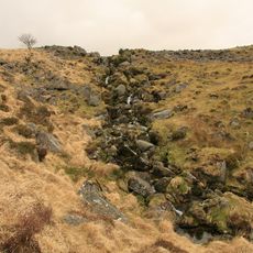
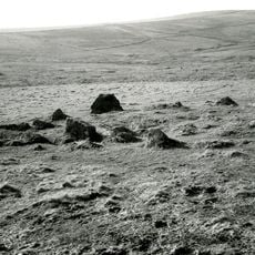
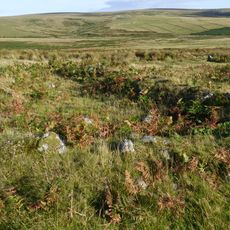
Duck's Pool is a natural depression in southern Dartmoor, located between the sources of River Plym and River Erme. The spot sits within boggy terrain marked by small patches of standing water and varied ground conditions throughout the surrounding area.
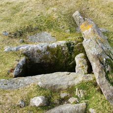
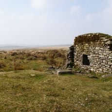
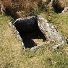
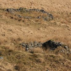
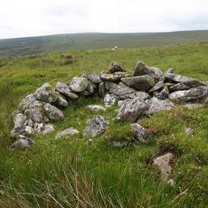
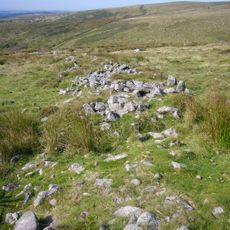
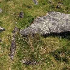
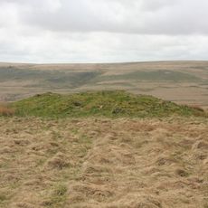
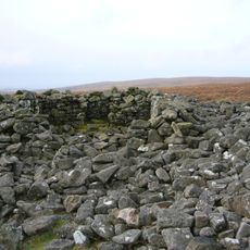
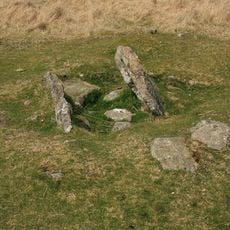
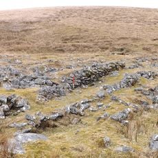
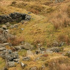
The area contains extensive remnants of tin mining operations, including a preserved blowing house dating to 1532. Visible remains of miners' huts scattered across the landscape show how the region was heavily worked over centuries.
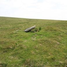
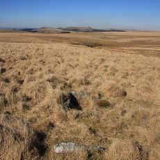
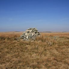
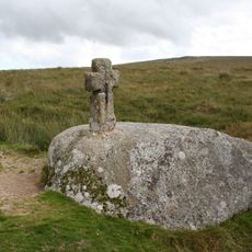
A memorial plaque and letterbox placed here in 1938 honor William Crossing, a writer who recorded Dartmoor's landscapes in his work. These markers show how visitors have long been drawn to this remote spot to remember those who explored and documented the area.
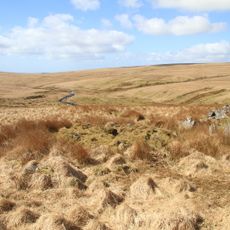
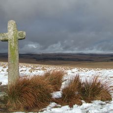
Access requires a challenging walk of around 8 miles round trip from Sheepstor car park, following the Plym stream through mixed terrain. The path crosses boggy ground and uneven surfaces, so sturdy footwear and preparation for changeable weather are important.
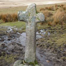
Despite its name suggesting a water feature, Duck's Pool has never contained significant water, likely because historical tin mining drained the ground. This fact makes the place a surprising reminder of how past industrial activity shaped the landscape.
The community of curious travelers
AroundUs brings together thousands of curated places, local tips, and hidden gems, enriched daily by 60,000 contributors worldwide.