Chest opened
+${chestReward.xp} XP
Explorer
NOUVEAU ×${chestReward.collectible.quantity}
tapez pour fermer
Chest locked

Open chests in the app

Around Us is built for your phone — chests unlock when you walk, explore and capture nearby places.

Enable Location

We need your location to show you interesting places around you

Discover nearby places

Find interesting locations and hidden gems around you

Precise directions

Get accurate directions and distances to places

Your location is never shared with other users. It's only used when you tap the location button.

Log in to your account

Start exploring — it's free

Trusted by 72,924 travelers worldwide

Continue with Google
Continue with Apple
or

We will send you a code to connect

By continuing, you accept our Terms and Conditions and our Privacy Policy

Check your inbox

We've sent a pincode in your inbox. Please enter the code below.

Shropshire Way
Discussion Reviews Photo
2.6k Popularity

Shropshire Way, Long distance footpath

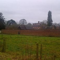
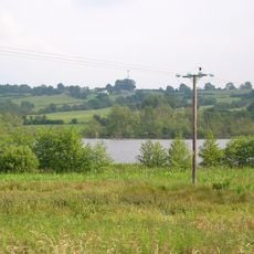
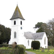
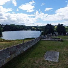
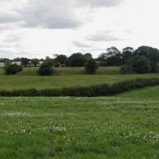
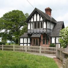
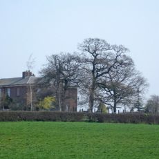
The Shropshire Way is a roughly 200-mile long-distance trail that winds through the English county of Shropshire, crossing rolling hills, farmland, and moorland. The route passes near streams, crosses open fields, and features historical structures such as old mills, bridges, and castle ruins along its path.

The trail was established in 2018 with two loops starting from Shrewsbury to make walking easier and more accessible. The region contains medieval castles and other historic structures, including Ironbridge, where the world's first iron bridge was built in the 18th century, marking a turning point in industrial development.

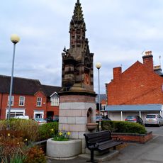
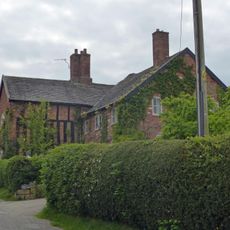
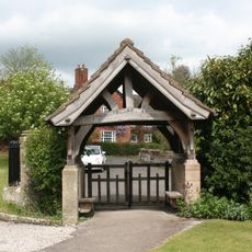
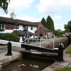
The route connects small villages that maintain traditional English ways of life and local customs. Visitors encounter cobbled streets, historic shops, and family-run cafes where the pace of community life feels noticeably slower than in modern cities.

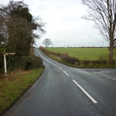
The route is marked with orange signs displaying a buzzard symbol and appears on Ordnance Survey maps, making navigation straightforward. Along the trail, small cafes, pubs, and village shops provide places to rest and eat, while bed-and-breakfasts and inns in nearby towns offer overnight accommodation for those exploring at their own pace.

The trail uses a distinctive orange sign featuring a buzzard on a disc, making it easily recognizable throughout the countryside. This symbol was specifically designed for the route and has become a familiar landmark for walkers, helping them stay oriented while traveling through the English landscape.

The community of curious travelers

AroundUs brings together thousands of curated places, local tips, and hidden gems, enriched daily by 60,000 contributors worldwide.

Start exploring
GPS coordinates
52.98200,-2.71200
Latest update
February 9, 2026 08:22
Reviews
Share your experience

No review yet

Discussions
Start a discussion...

No discussion yet

« Shropshire Way - Long distance footpath » is provided by Around Us (aroundus.com). Images and texts are derived from Wikimedia project under a Creative Commons license. You are allowed to copy, distribute, and modify copies of this page, under the conditions set by the license, as long as this note is clearly visible.

Discover hidden gems everywhere you go!

From secret cafés to breathtaking viewpoints, skip the crowded tourist spots and find places that match your style. Our app makes it easy with voice search, smart filtering, route optimization, and insider tips from travelers worldwide. Download now for the complete mobile experience.

Around Us App Screenshot

A unique approach to discovering new places

Le Figaro

All the places worth exploring

France Info

A tailor-made excursion in just a few clicks

20 Minutes

Around Us
Travel Guide & Maps
Download

Send to your phone

QR Code
1

Open the camera app on your mobile.

2

Point at the QR code with your camera. A notification will appear.

3

Tap the notification to open the link.